

Winter Storm Could Bring Ice and Snow to Meigs, Weather Advisory Issued
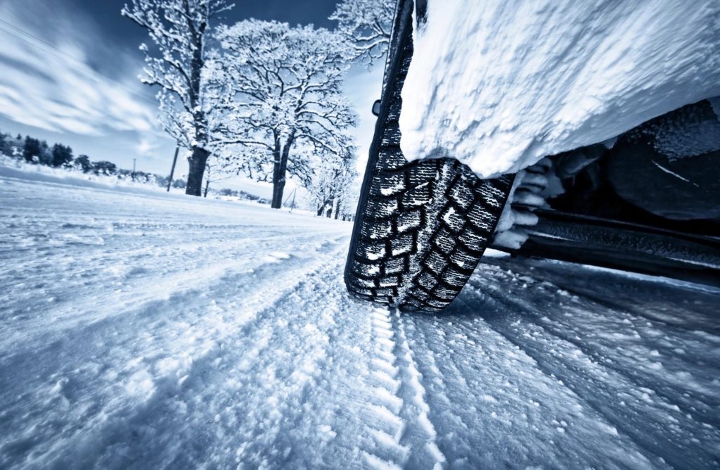
MEIGS COUNTY, Ohio – Friday may prove to be a mix of weather for Meigs County and the region. Hazardous weather remains a possibility as ice and snow remain in the forecast for the weekend.
According to the National Weather Service (NWS), a strong and complex low pressure system will cross the area Friday through Friday night. Rain will change to snow Friday night with possibly a period of freezing rain or sleet in the transition. A Winter Weather Advisory has been issues by the NWS through to Jan. 13, 2018 at 10 a.m.
The NWS is predicting a period of sleet and freezing rain expected late on Friday, Jan. 12, 2018. This will transition to all snow Friday night. The ice will result in difficult travel conditions. A general inch or two of snow is expected, but localized amounts of up to 3 inches are possible. The total ice accumulations of a glaze to a few hundredths of an inch are possible. Portions of northeast Kentucky and southeast Ohio, and much of West Virginia will be impacted as the system moves through the region. Mototists are advised to be prepared for reduced visibilities at times.
A Winter Weather Advisory means that periods of snow, sleet or freezing rain will cause travel difficulties. Be prepared for
slippery roads and limited visibilities, and use caution while
driving.
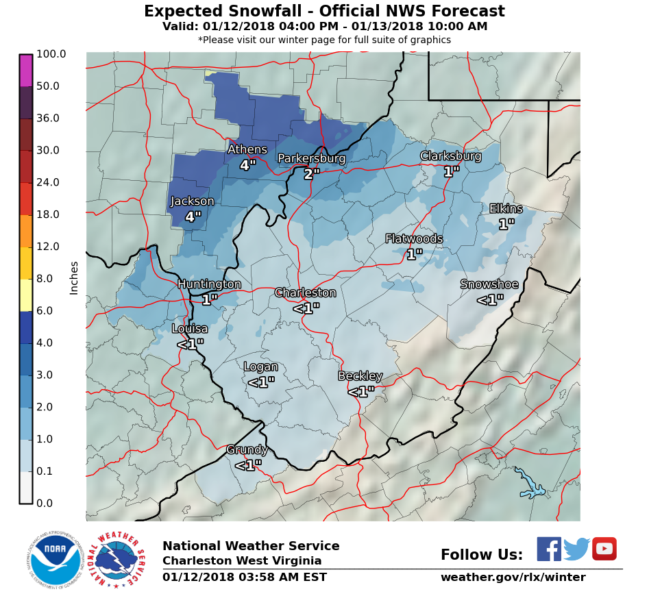
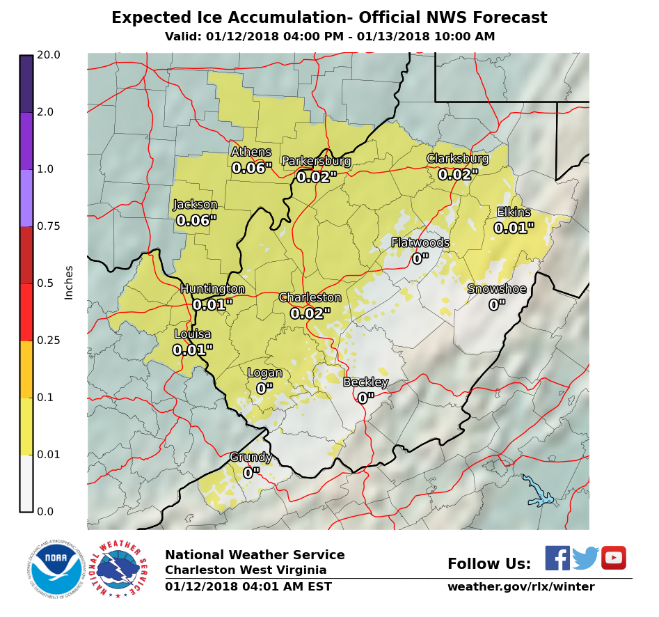
National Weather Service Forecast for Jan. 12-15, 2018:
Friday
A chance of showers, mainly between 9 a.m. and noon, then rain after noon. Temperature rising to near 57 by noon, then falling to around 39 during the remainder of the day. South wind 5 to 11 mph becoming north in the afternoon. Winds could gust as high as 24 mph. Chance of precipitation is 100%. New precipitation amounts between a quarter and half of an inch possible.
Friday Night
Rain, freezing rain, and sleet before 11 p.m., then snow and sleet between 11 p.m. and midnight, then snow after midnight. Low around 20. North wind 11 to 14 mph, with gusts as high as 31 mph. Chance of precipitation is 100%. Little or no ice accumulation expected. New snow and sleet accumulation of 1 to 3 inches possible.
Saturday
A chance of snow showers before 7 a.m., then a chance of snow between 7 a.m. and 3 p.m. Mostly cloudy, with a high near 23. Northwest wind 9 to 11 mph, with gusts as high as 23 mph. Chance of precipitation is 30%.
Saturday Night
Mostly cloudy, with a low around 8. North wind 3 to 8 mph.
Sunday
Sunny, with a high near 23.
Sunday Night
Mostly cloudy, with a low around 8.
M.L.King Day
A chance of snow showers after 1 p.m. Mostly cloudy, with a high near 33. Chance of precipitation is 40%.