Meigs health today: Severe spring weather

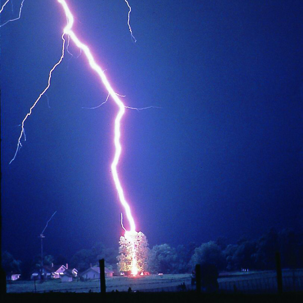
Lightning striking a tree. Photo courtesy NOAA.

Meigs health today: Severe spring weather
By Brody Davis, PHEP Emergency Response Coordinator
As spring begins in the Ohio Valley, we could see weather ranging from snowstorms to tornados and anything in between. It is essential to know what weather can bring and what you should do to prepare for it. A great time to learn about the weather, the difference in watches and warnings, and preparing is during Severe Weather Awareness Week. This year’s Severe Weather Awareness Week is from March 21 to 27 and includes an annual tornado drill on March 24 at 9:50 a.m.

The most common spring and severe summer weather in Ohio are thunderstorms, flooding, and tornados. Thunderstorms are the most common severe weather in our area but can lead to tornados and flooding depending on the system. When thunderstorms are a threat, it is important to seek shelter indoors to protect from lightning and potentially high winds. Should the storm produce a tornado, it is crucial to remember DUCK.
- D – Go DOWN to the lowest level, stay away from windows
- U – Get UNDER something (such as a basement staircase or heavy table or desk)
- C – COVER the head
- K – KEEP in shelter until the storm has passed
Flooding due to storms and heavy rains are also a common occurrence in our region. The main thing to remember with flooding not to enter the water on foot or in a vehicle. The water current can sweep not only people away but also cars and structures. Other unseen issues associated with flooding include sinkholes and washouts hidden under the water or chemicals and even raw sewage in the water. Entering the water can not only put your life at risk both also the ones who are coming to save you. So remember to “turn around, don’t drown.”
Knowing what a warning, watch, advisory, and outlook is important when the weather arrives in an area. An outlook reports a risk of hazardous weather in the next seven days, which can threaten life and property. An outlook allows the community time to plan and prepare for the upcoming weather. This preparation could include making sure a 72-hour emergency kit is in good condition, preparing generators, and moving items that could be affected by flooding. The next step up in weather meanings is an advisory. An advisory is issued when a hazardous weather event is occurring or likely to occur, which could cause significant inconvenience for the public.
Hazardous weather outlooks have grown along with advisory’s; however, we most commonly hear of watches and warnings. A watch advises the public of the risk of hazardous weather shortly that could pose a threat to life and property. When a watch is issued, individuals need to have a plan in place and how they are going to implement the plan. The final step in the scale is a warning. Warnings are issued when hazardous weather is occurring or going to happen in the area. A warning means the weather could pose a threat to life and property and that people in the warnings need to take proactive actions immediately.
Knowing the risk of severe spring weather along with the difference in warnings, watches, advisories and outlooks could mean the difference in being injured and uninjured or life and death during a weather incident. For more information on severe weather and severe weather week, visit www.weathersafety.ohio.gov.


