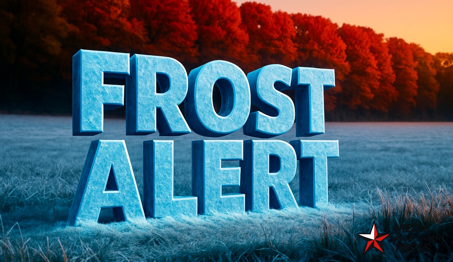
BUFFALO, N.Y. — Western New York woke to a bright, brisk fall morning, the kind of setup that signals a sharper chill on the way. Light breezes, clear skies, and falling dew points are aligning to bring Buffalo its first widespread frost risk of the season early Monday.
Meteorologists at the National Weather Service in Buffalo expect temperatures to edge toward the freezing mark late Sunday into early Monday, with the coldest readings in protected valleys east of Lake Erie. If winds go calm before sunrise, patchy frost is likely, so residents should protect tender plants or move containers indoors. No frost advisories have been posted yet, but one could be issued if the quiet, clear pattern holds through the weekend.
Saturday offers intervals of sun and a high near 52°F—ideal for wrapping up late-season yardwork before the chill arrives. Sunday looks similar during the day, though lighter winds overnight will speed the cooldown. By dawn Monday, suburbs such as Hamburg, Orchard Park, and Clarence could see lows near 32°F and frosty windshields.
From Monday through Wednesday, expect a dry, cool stretch with highs around 50°F under plenty of sunshine. Nights remain chilly, but there’s no snow or lake-effect activity in the near term. Looking ahead to Halloween on Friday, trick-or-treaters can anticipate crisp, comfortable weather in the low 50s with dry conditions.
In true Buffalo fashion, a couple of tranquil, frosty mornings are often the prelude to November’s deeper cold.
Five-day outlook for Buffalo, NY:
– Saturday: 52/38 — Partly sunny; light breeze.
– Sunday: 50/32 — Clear and cool; late frost possible.
– Monday: 50/33 — Sunny; patchy morning frost.
– Tuesday: 52/36 — Mostly sunny; classic fall chill.
– Wednesday: 52/38 — Bright and cool; dry stretch continues.


Leave a Reply