A blanket of low clouds and a cool breeze settled over the Kansas City metro early Saturday, muting the skyline and ushering in a damp stretch that looks to stick around into the first part of the workweek.
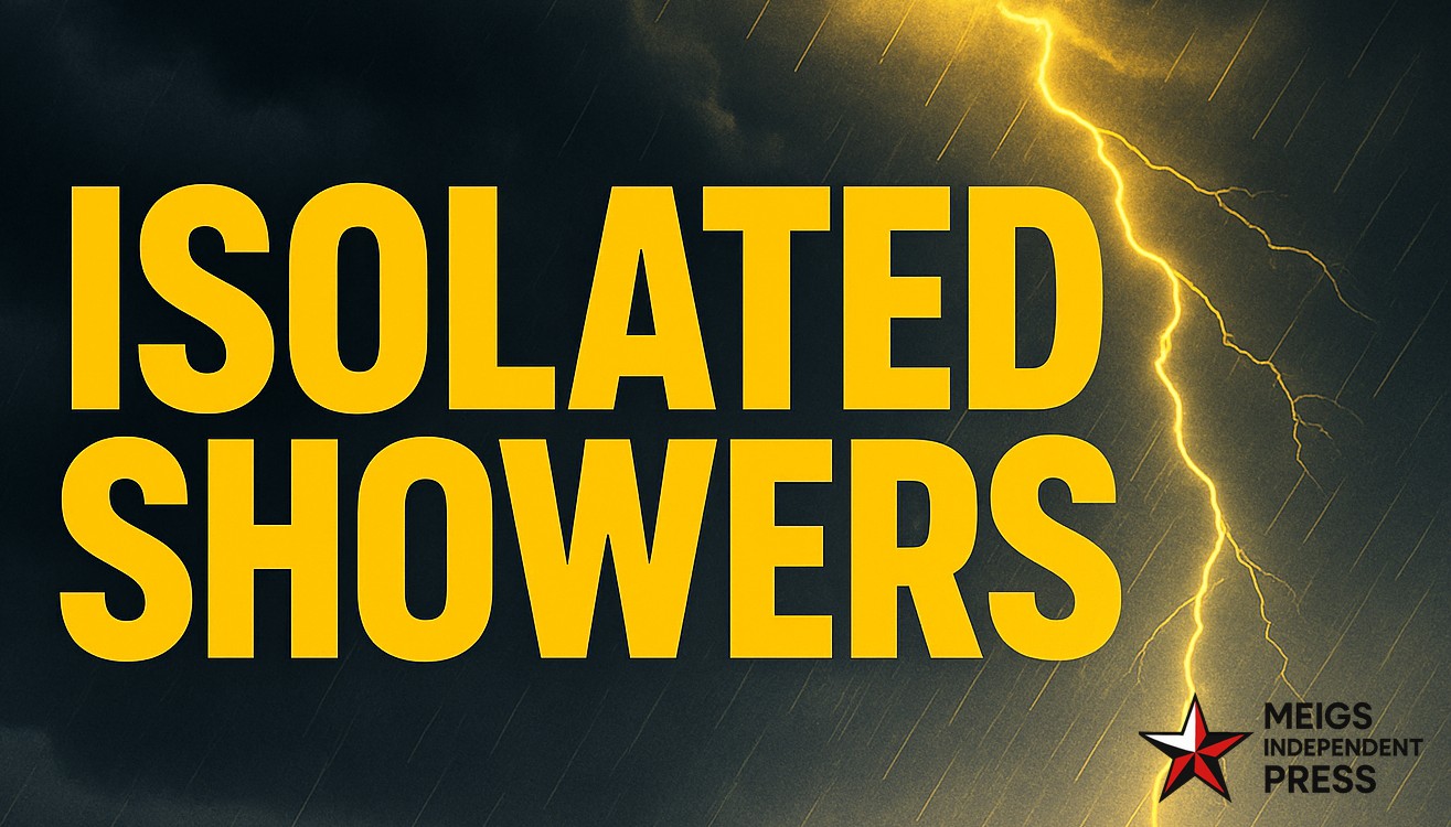
The National Weather Service office in Pleasant Hill reports a weak disturbance sliding across eastern Kansas and western Missouri this morning, leading to about a 40% chance of light rain or drizzle. Temperatures hold near 57°F with a gentle southeast wind around 8 mph. Conditions trend a bit wetter late Saturday night as a narrow band of light showers may pass through Johnson and Jackson counties.
Sunday features mostly cloudy skies with a few sprinkles possible at daybreak. Brief dry windows are likely midday, but another round of showers could develop late Sunday night. Monday stays overcast, and spotty afternoon showers may pop up, keeping highs in the upper 50s.
Rain amounts look modest—generally under a quarter inch—but occasional drizzle and damp roads could slow both the morning and evening drive along the I-70 corridor. If you’re tackling fall yard work or hanging Halloween decor, aim for Sunday midday when the odds of a dry break are best.
Winds remain light through the period, then shift toward cooler air by midweek. That trend signals a seasonal step down toward frost-friendly nights as Halloween draws near.
This cool, soggy spell is an early taste of the chill November typically brings.
Five-Day Snapshot for Kansas City, MO–KS:
– Sat: 57/51 – Overcast; a few light showers or drizzle at times.
– Sun: 57/51 – Mostly cloudy; sprinkles early, drier midday.
– Mon: 59/48 – Cloudy with scattered, mainly afternoon showers.
– Tue: 56/44 – Mostly cloudy; a slight chance of light rain late.
– Wed: 60/40 – Partly sunny; breezy with a cooler trend continuing.


Leave a Reply