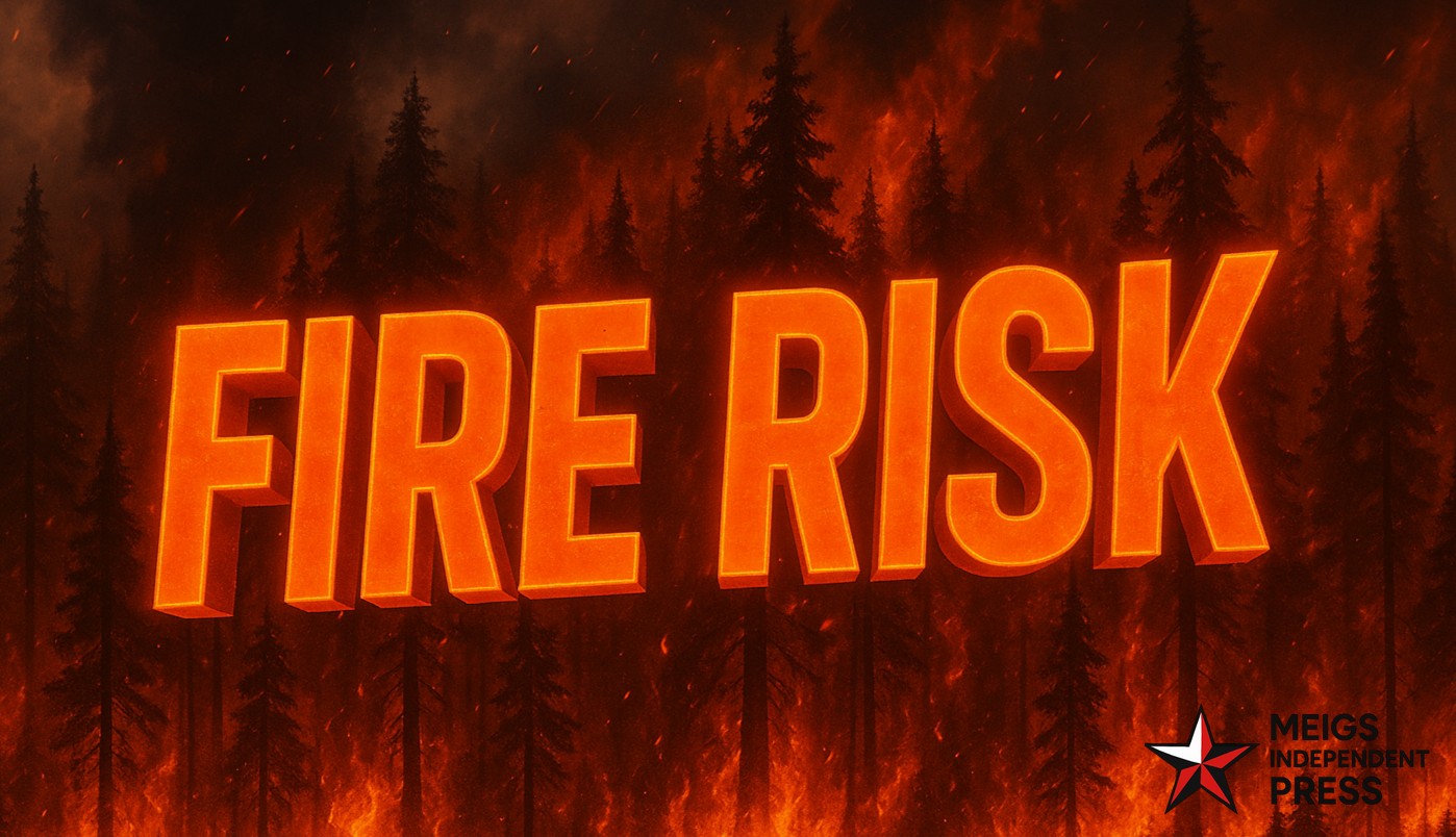
Sioux Falls, SD — The National Weather Service office in Sioux Falls is alerting the public to an elevated fire danger on Sunday, October 26, driven by brisk winds and very dry ground conditions that could make the afternoon and evening particularly hazardous.
Forecasters expect south-southeasterly winds to ramp up from midday through sunset, with gusts frequently reaching 25 to 40 mph. The most intense winds are anticipated west of Highway 281, where parched grasses and crop residue can ignite easily if exposed to sparks or hot embers.
Authorities are urging everyone to hold off on outdoor burning, dispose of cigarettes responsibly, and operate farm and outdoor equipment with care. Any blaze that begins could spread quickly in the dry fuels, especially in open fields and roadside ditches.
The window of greatest concern is 11 a.m. to 7 p.m. CDT. Central and south-central South Dakota — including communities near Huron, Chamberlain, and Mitchell — are expected to face the highest risk.
Residents should stay tuned to updated forecasts and heed local fire safety rules throughout the day to reduce the chance of accidental ignitions.


Leave a Reply