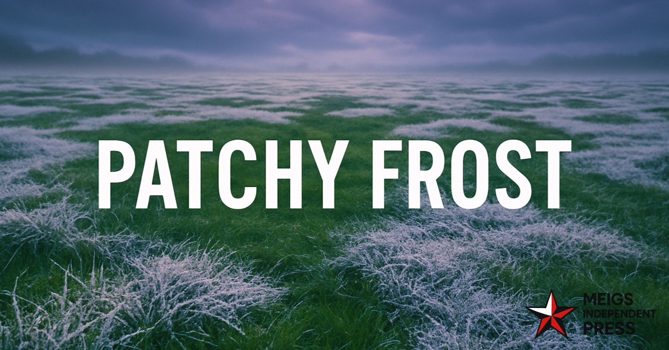
Pittsburgh woke to a glittering glaze of frost early Saturday, with lawns shimmering and windshields iced beneath a quiet, lightly clouded sky. It’s a classic late-October scene, ushering in several calm, cold mornings as the region eases toward November.
The National Weather Service in Pittsburgh notes that patchy frost is likely each morning through Monday, especially in protected valleys south and east of the city near the I-79 and Route 19 corridors. Saturday will rebound quickly into the mid-50s under mostly sunny skies, but temperatures dip back toward freezing after sunset. If you’re hitting the road Sunday or Monday at daybreak, plan a few extra minutes for scraping the windshield and watch for slick spots on rural routes.
Sunday features another crisp, bright day with highs near 58°F—ideal for yard cleanup or getting a head start on Halloween decorations. A gentle northeast breeze will keep the air feeling fresh, and dry weather holds through early week.
Monday may start frosty again before turning clear and seasonably cool, topping out around 58°F. By Tuesday, clouds begin to build, and a weak disturbance could deliver a few light showers late Wednesday into Thursday. While snow and ice aren’t in the cards yet, forecasters suggest November could mark Pittsburgh’s first brush with a more wintry chill.
For now, it’s a tranquil stretch perfect for weekend plans—just layer up before sunrise.
Five-Day Outlook for Pittsburgh, PA:
– Saturday: 55/33 — Frost possible at dawn; sunny, cool afternoon.
– Sunday: 58/35 — Patchy morning frost; bright and calm.
– Monday: 58/34 — Frosty start; mild sunshine.
– Tuesday: 56/36 — Mostly sunny with a light breeze.
– Wednesday: 56/38 — Clouds increasing; slight chance of a late-day shower.


Leave a Reply