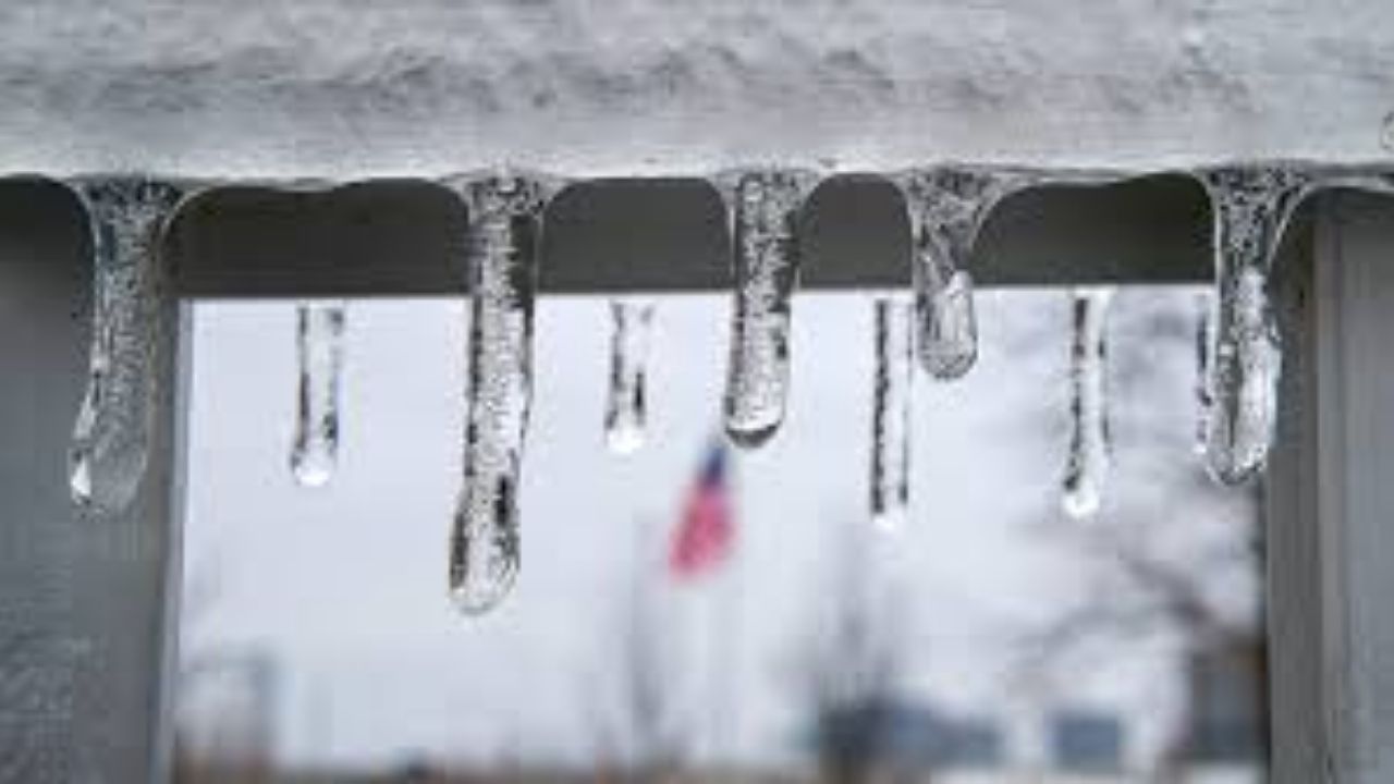
The next system arrives on Friday, bringing rain and a chance of freezing rain.
The areas north and east of Pittsburgh, where temperatures will struggle to rise above the low 30s, will be the most affected.
An ice storm warning has been issued for portions of Armstrong and Indiana counties. That warning will last from 10 a.m. on Friday to 7 a.m. on Saturday.
Icy travel is expected throughout our area, with severe ice accumulations anticipated in northeastern Armstrong and Indiana counties, as well as north of I-80 and in Westmoreland County’s higher elevations. Travelers heading north and east into the state’s central region may face dangerous conditions Friday night and early Saturday morning.
Warmer temperatures are forecast this weekend, with some quiet weather for travel on Saturday and the first half of Sunday.
Rain is expected to return later Sunday evening, with colder air arriving Monday, potentially turning rain into snow showers by the beginning of next week.
This appears to be the beginning of a colder pattern that will continue through the end of 2025.


Leave a Reply