Holiday travelers in Indiana may see a wetter and potentially wintry pattern develop during the Thanksgiving travel window, with federal long-range forecasts showing above-normal precipitation across the state from November 23 to November 29.
According to the Climate Prediction Center’s 8-14 Day Outlook released on Saturday, nearly all of Indiana is in a 40-50% probability zone for above-normal precipitation. This places the state within a larger, moisture-rich corridor that extends from the central Plains to the Great Lakes. With seasonal temperatures approaching normal, sections of northern Indiana, particularly near Fort Wayne and South Bend, may get wet snow or mixed precipitation on occasion.
Central Indiana, including Indianapolis, is located in a location where temperature changes may decide whether precipitation falls as cool rain or sloppy, early-season snow. Meanwhile, southern areas like Evansville continue to receive above-normal precipitation, though warmer conditions may lead to more rain during most events.
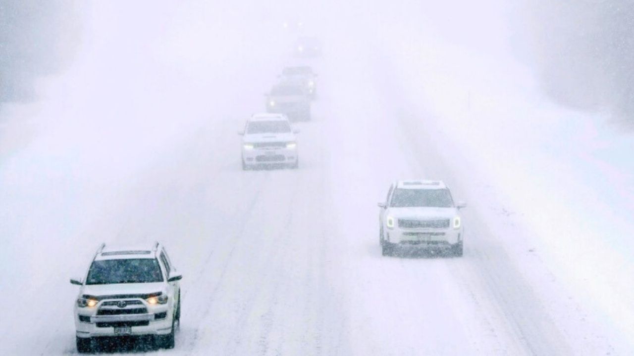
The Thanksgiving travel period is historically one of Indiana’s busiest, with significant road traffic on I-65, I-69, and I-70. Even light snow or cold rain can slow travel speeds, and timing remains the biggest unknown. Forecasters note that individual systems will not come into sharper focus until short-range models begin tracking them early next week.
Still, the pattern is notable. For many years, a wetter-than-normal 8-14 day signal prior to Thanksgiving has been associated with severe travel weather across parts of the Midwest and Great Lakes.
Travelers should keep an eye out for updated forecasts throughout the week as timing, temperature, and storm track details become more clear.









Leave a Reply