Tonopah, NV — A minor earthquake measuring magnitude 3.4 shook the region southeast of Tonopah early Saturday, according to the U.S. Geological Survey (USGS).
The quake struck around 5:30 a.m. local time (12:30 UTC), with an epicenter about 22 kilometers south-southeast of Tonopah at a depth of roughly 10 kilometers. The location is near the northern boundary of the Nevada Test and Training Range, not far from Creech Air Force Base and other U.S. military facilities.
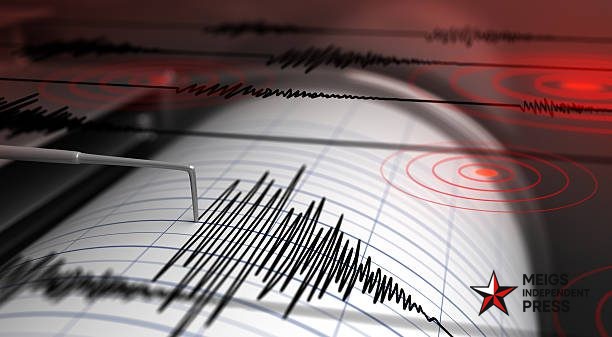
USGS data indicates an intensity level of IV on the Modified Mercalli scale, signifying light shaking—noticeable indoors to some people but unlikely to cause damage. Early “Did You Feel It?” reports describe mild tremors in parts of Esmeralda and Nye counties.
As of Saturday morning, officials reported no injuries or structural damage. No aftershocks have been detected, though the USGS continues to monitor the area for further seismic activity.
Tonopah, situated on U.S. Route 95 roughly halfway between Reno and Las Vegas, occasionally experiences small earthquakes due to its position within the Basin and Range province—one of the most seismically active areas in the contiguous United States.
Residents who felt the shaking are encouraged to share their observations on the USGS “Did You Feel It?” page to help scientists refine the quake’s intensity and reach.


Leave a Reply