
Area Under Winter Storm Watch
Area Under Winter Storm Watch
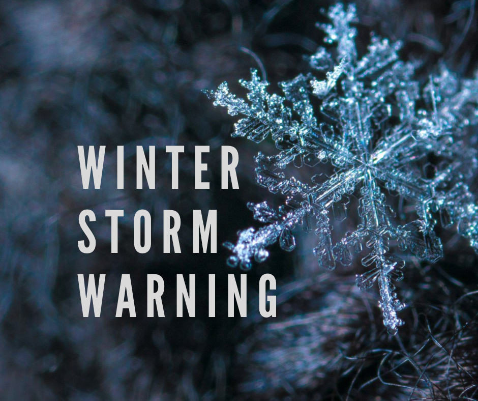
RACINE, Ohio – A Winter Storm Watch is in effect from late Wednesday night on Feb. 2 through Friday, Feb. 4 for Meigs County and the surrounding areas.
According to the National Weather Service, heavy mixed precipitation is possible. Total snow accumulations of up to one inch and ice accumulations of one tenth to one quarter of an inch are possible. The Winter Storm Watch is for southeast Ohio and northeast Kentucky from late Wednesday through Friday morning.
Power outages and tree damage are likely due to the ice. Travel could be nearly impossible. Hazardous conditions could impact the morning or evening commute. Monitor the latest forecast for updates on this situation.
By Day Forecast Feb. 2 – Feb. 4
Wednesday – Rain likely, mainly after 3pm. Mostly cloudy, with a high near 50. Calm wind becoming south around 5 mph. Chance of precipitation is 70%. New precipitation amounts of less than a tenth of an inch possible.
Wednesday Night – Rain. Steady temperature around 45. Southeast wind around 5 mph becoming calm after midnight. Chance of precipitation is 100%. New precipitation amounts between a quarter and half of an inch possible.
Thursday – Rain. High near 45. North wind 3 to 6 mph. Chance of precipitation is 100%. New precipitation amounts between three quarters and one inch possible.
Thursday Night – Rain, freezing rain, and sleet before 3am, then snow, possibly mixed with freezing rain and sleet. Low around 24. North wind around 6 mph. Chance of precipitation is 100%. New snow and sleet accumulation of less than one inch possible.
Friday – Snow likely, mainly before 11am. Mostly cloudy, with a high near 30. Chance of precipitation is 60%.
Friday Night – Partly cloudy, with a low around 7.