According to the National Weather Service in Milwaukee/Sullivan, Southeastern Wisconsin could see its first snowflakes of the season late Saturday when rain changes to light snow. Although we expect limited snowfall, we anticipate a narrow zone of light accumulation between southern Wisconsin and northern Illinois.
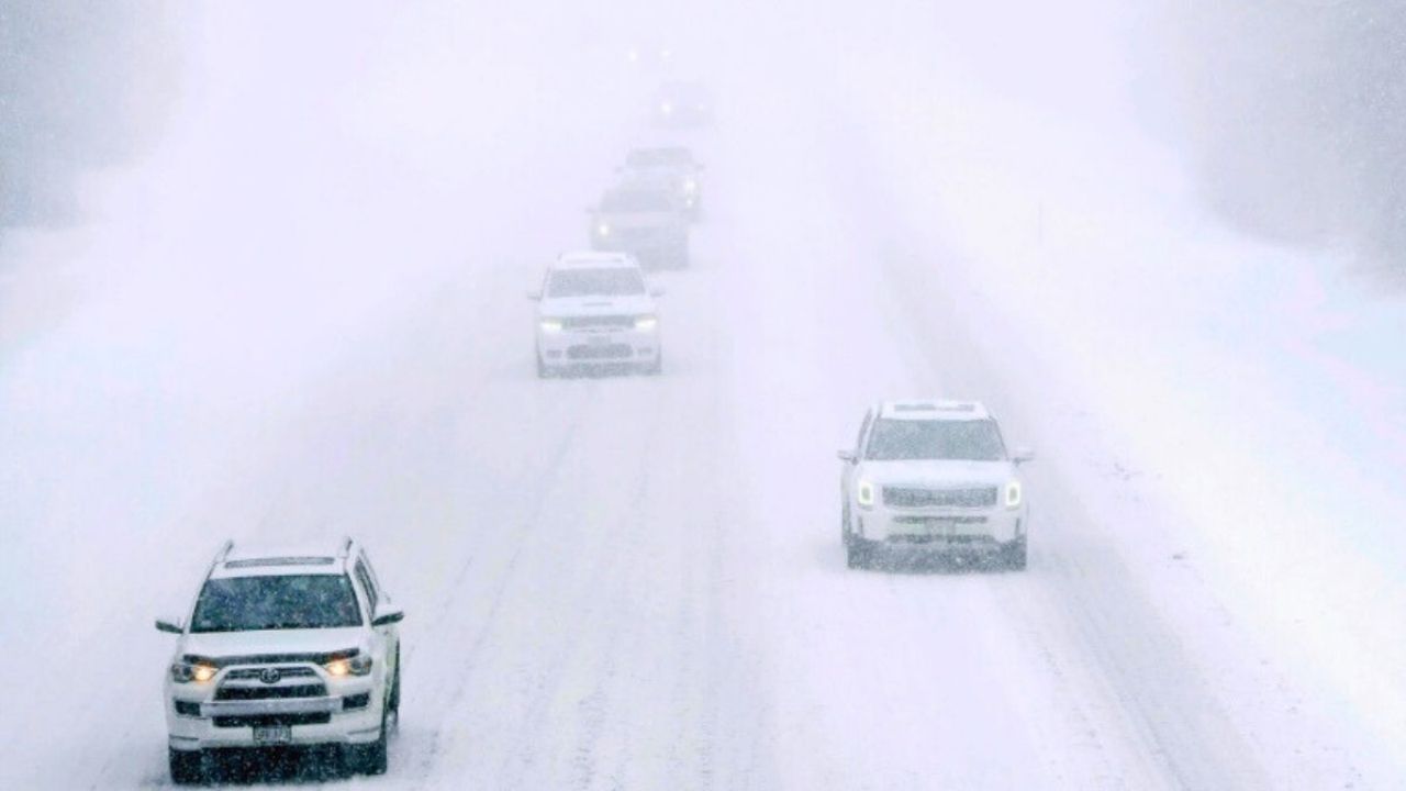
The National Weather Service predicts a change from rain to snow Saturday night as temperatures drop; however, the timing and location of any measurable precipitation are unknown. Warm ground conditions are expected to prevent most accumulation from adhering, keeping roadways wet rather than icy, according to forecasters.
Residents in Milwaukee, Madison, and adjacent counties should be vigilant for sudden weather changes, especially during the evening commute and midnight hours. If temperatures drop faster than expected, drivers should be aware of slick patches on bridges and overpasses.
Meteorologists warn that details may alter as Saturday approaches, with updated forecasts available throughout the weekend.
Rain-to-snow warnings remain in force for Saturday night.


Leave a Reply