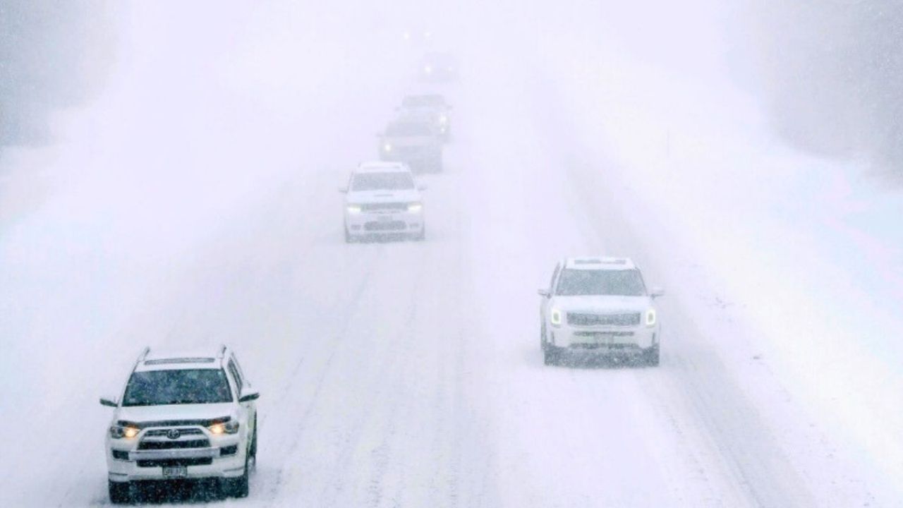
This morning, a wind blows across Lake Erie, bearing streaks of snow that distort the Cleveland skyline and coat cars in a thin white layer. Drivers on I-90 and Route 2 are advised to exercise caution because snow squalls may temporarily decrease visibility as an Arctic cold front tightens its grip on northern Ohio.
The National Weather Service in Cleveland predicts a rapid 1 to 3 inches of lake-effect snow today, particularly in Ashtabula and Erie counties. While accumulations will be moderate, gusts up to 30 mph may blow snow sideways, resulting in hazardous and unpredictable conditions during the morning and early afternoon commute.
Temperatures will drop into the teens by evening, with wind chills near or below zero in open places. Conditions will remain dangerously cold until Friday morning, when the region awakens to single-digit lows away from the shoreline.
Friday is cold but quieter, with highs at 31°F and partly sunny skies. Saturday’s highs will be in the 30s with sporadic flurries, and Sunday may see another round of lake-effect snow as winds move northwest.
Meteorologists are looking for early signs of a more active pattern between December 11 and 17, when another blast of Arctic air might feed more Great Lakes snowfall — just as Christmas traffic picks up.
If you’re going today or early Friday, allow additional time. Expect slippery bridges, poor visibility, and chilling wind chills. As the early winter chill sets in, bundle up, keep a safe distance from the road, and check on senior neighbors.
Five-Day Outlook (Cleveland, OH):
- Thursday: 1–3″ lake-effect snow, gusts to 30 mph, high 31°F, low 14°F.
- Friday: Mostly sunny, high 31°F, low 22°F.
- Saturday: 30% chance snow showers, high 36°F, low 28°F.
- Sunday: Cloudy, 40% chance snow, high 34°F, low 21°F.
- Monday: Mostly cloudy, high 34°F, continued cold trend.


Leave a Reply