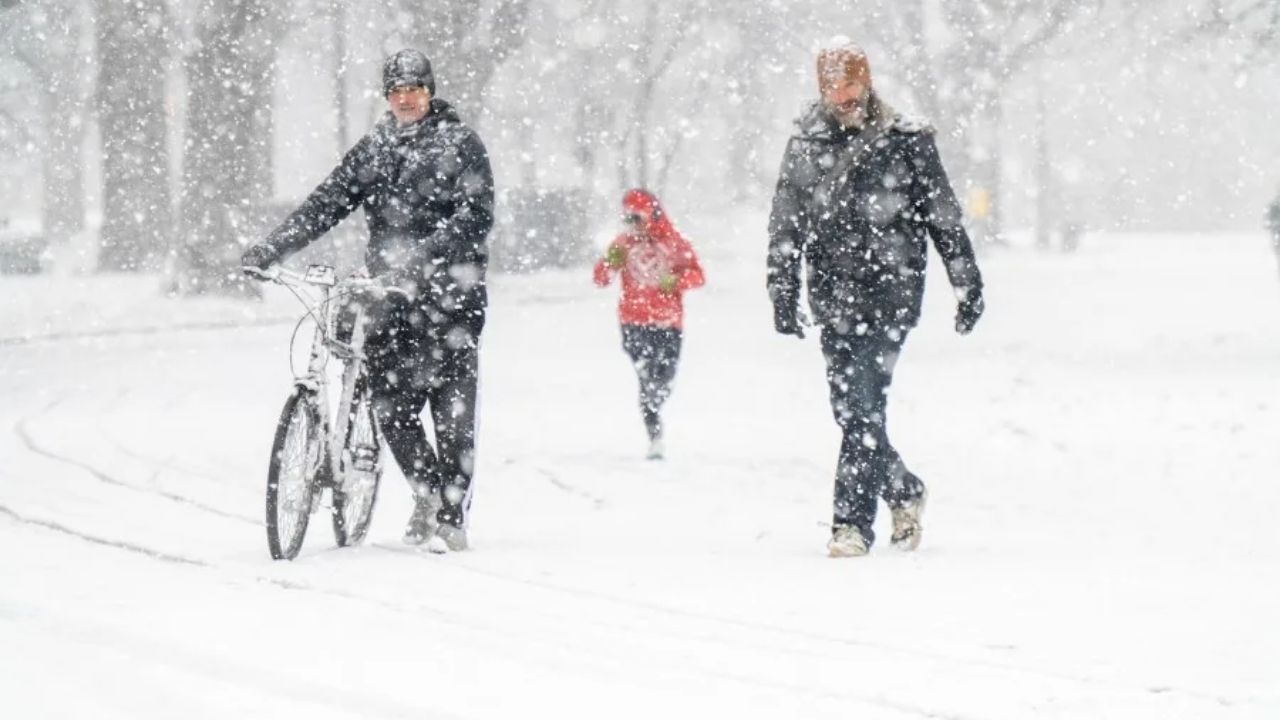
A winter storm watch will be in force in New York and New Jersey this weekend due to the impending snowfall.
The winter storm watch covers the five boroughs of New York City, Long Island, and northern New Jersey, with the National Weather Service predicting “localized accumulations over 12 inches possible.”
Meteorologists at PIX11 have been closely monitoring the storm’s path and severity, estimating accumulations of up to 16 inches in inland areas and 6 to 10 inches along the coast.
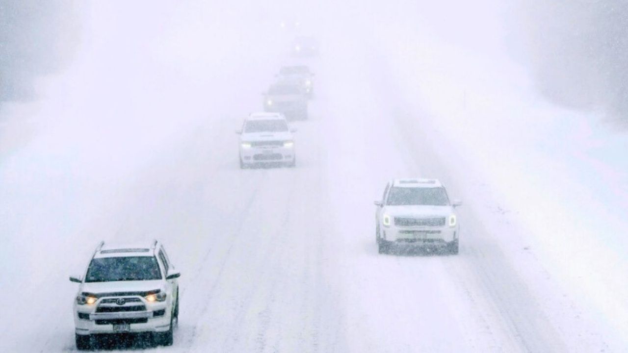
“Persons should consider delaying all travel from Sunday into Monday,” the NWS advised in its statement. “Pack a snowstorm kit with essentials like tire chains, booster cables, a flashlight, a shovel, blankets, and extra clothing. Also, bring water, a first aid kit, and anything else that will help you survive if you become stuck.”
The winter storm watch goes into place at 1 a.m. on Sunday and will last until Monday afternoon.
The largest single blizzard in New York City history occurred in January 2016, when 27.5 inches of snow poured over three days.
A cold weather advisory for New York City and the surrounding areas will be in effect from 10 p.m. Friday until 10 a.m. Saturday.
Temperatures will plummet on Friday night when a strong northwesterly wind develops. Overnight temperatures will plummet to roughly 10 degrees, with wind chills reaching 5 degrees below zero.
New York City’s snowfall preparations will begin on Friday, with the Department of Sanitation bringing streets, highways, and bike lanes.


Leave a Reply