A Winter Weather Advisory will be issued for the Chicago area Friday morning through early afternoon, followed by a Winter Storm Watch as the chance of heavy lake-effect snow grows later in the day and Friday night.
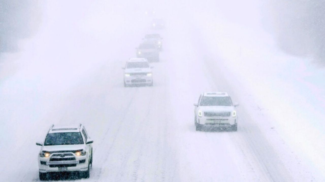
A snowstorm is forecast to hit mid- to late Friday morning, dumping 2 to 3 inches in only a few hours across Cook, DuPage, and Lake Counties. Snowfall rates may briefly exceed an inch per hour, making roads hazardous in the late morning and early afternoon commute.
According to the National Weather Service in Chicago, the advisory is in force from 9 a.m. to 3 p.m. Friday. Conditions may improve temporarily Friday afternoon before a much more catastrophic situation emerges near Lake Michigan. An severe band of lake-effect snow is predicted to build over southern Lake Michigan and perhaps move into central and southern Cook County Friday evening.
According to the NWS, the lake-effect band could last three to five hours, resulting in snowfall rates of 2 inches per hour or more. Localized accumulations of more than 6 inches are probable, particularly along the lake from the city south to Calumet City and surrounding villages. Visibilities can decrease below a quarter mile at times, resulting in near-whiteout conditions.
During heavy snowfall, major highways such as Lake Shore Drive, I-90, I-94, I-80, and I-57 may become hazardous quickly. According to IDOT, drivers should be prepared for rapidly shifting conditions, as lake-effect snow bands can send heavy snow to one place while leaving surrounding areas with little accumulation.
Residents are asked to closely follow updates and avoid needless travel Friday evening if lake-effect snow falls over the city. Keep phones charged and leave additional time for travel.


Leave a Reply