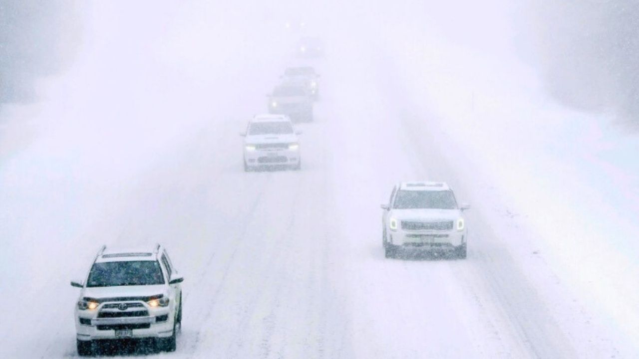
Another round of Arctic air is forecast to return to Ohio and Pennsylvania during the first full week of February, bringing a protracted period of severe cold, deadly wind chills, and a quieter pattern in terms of extensive snowstorms.
According to the National Weather Service Climate Prediction Center, temperatures in the Ohio Valley and inner Mid-Atlantic are expected to be significantly below normal from Friday to Thursday as strong Arctic high pressure builds east. At the same time, precipitation probabilities are below average, indicating fewer organized winter systems despite the deep cold setting in.
Ohio’s northern and central regions, including Cleveland, Toledo, and Columbus, are forecast to experience the lowest temperatures, with overnight lows dropping into the single digits or below zero. Wind chills may reach below zero in the morning and evening, particularly near Lake Erie. Southern Ohio will also experience frigid weather, with highs in the teens during the coldest stretch.
The coldest weather is forecast in Pennsylvania’s northern and western counties, including the Alleghenies and the north-central region. Pittsburgh and the surrounding areas will have chilly mornings and minimal midday warming, while eastern towns like Harrisburg and Philadelphia will remain far below seasonal averages. While Arctic cold frequently causes snow concerns, the dominating trend favors dry air throughout much of the East Coast, minimizing snowfall possibility. Lake-effect snow and fast-moving clippers remain a possibility, but their coverage is predicted to be limited.
Residents are encouraged to prepare for prolonged cold weather by covering pipes, inspecting heating systems, and reducing outdoor exposure. Outlooks will be updated as early February approaches, and more advisories may be issued if the pattern changes.


Leave a Reply