The National Weather Service (NWS) has issued a freeze warning for at least seven states in the Midwest and Mid-Atlantic regions, including Illinois, Indiana, Kentucky, Ohio, Maryland, Pennsylvania, and West Virginia.
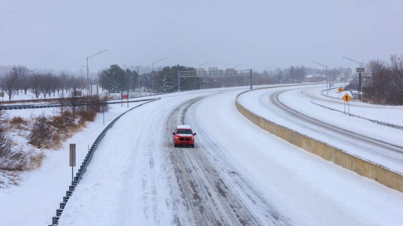
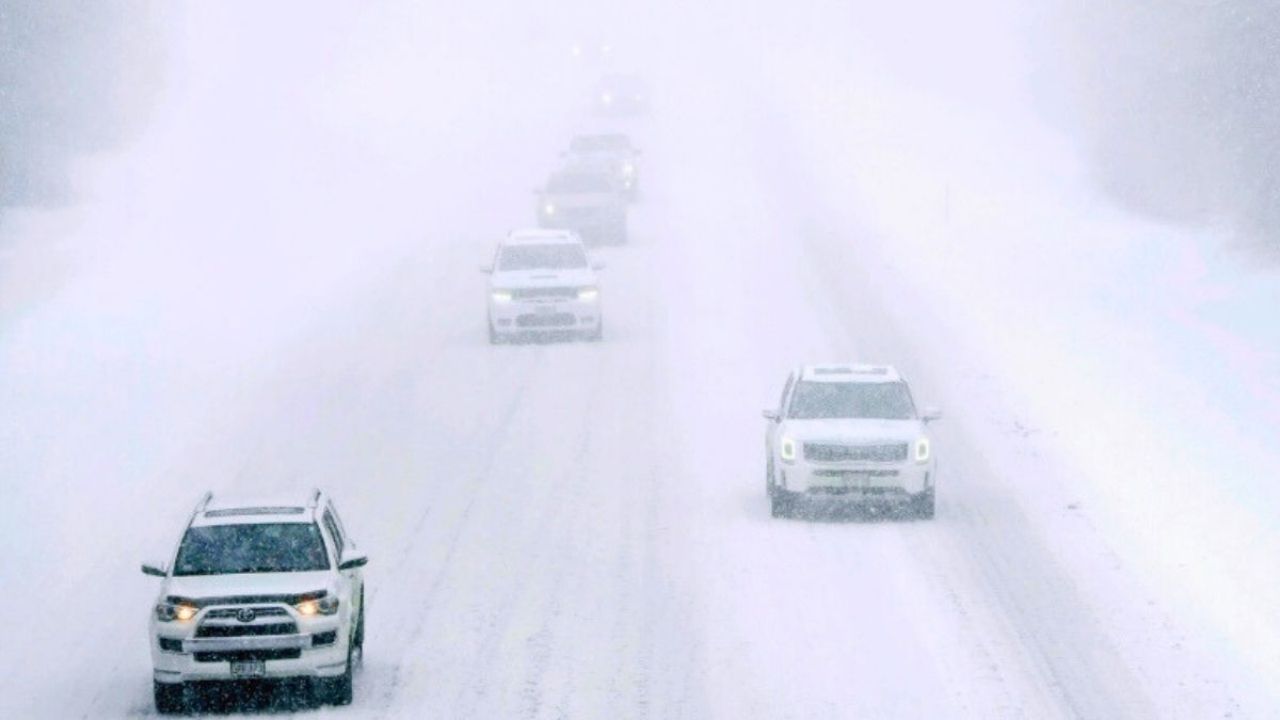
The National Weather Service cautioned that a cold front over the lower Great Lakes and northeast of the country will bring “a wintry mix with chances of moderate to heavy snow and gusty winds along the front on Tuesday.”
AccuWeather analyst Peyton Simmers told Newsweek that “the weather for the next few days in the Midwest and mid-Atlantic will be chilly for the next few mornings, with frost and freeze risks.”
The NWS issues a freeze warning “during the growing season when temperatures are expected to be below 32 degrees Fahrenheit for several hours,” Simmers explained. “A freeze can damage sensitive plants and potentially kill them if people do not take action to either bring their plants indoors or cover them over,” he said.
According to the Old Farmer’s Almanac, a light frost occurs when the overnight temperature drops to 32 degrees Fahrenheit or below, and a severe freeze occurs when air temperatures fall below 28 degrees Fahrenheit for at least four consecutive hours.
Below-average temperatures are expected to persist across the Northern Plains into the Ohio Valley—the area surrounding the Ohio River that includes Illinois, Indiana, Kentucky, Ohio, Pennsylvania, and West Virginia—as well as in the Northeast on Tuesday, before “near normal temperatures” return on Wednesday, according to the NWS.
According to the NWS, much of the contiguous United States will experience “slightly above normal temperatures” on Wednesday and Thursday.
Simmers said, “This warm-up will come with the risk of strong to severe thunderstorms over parts of the Midwest from Thursday and into early next week.”
He stated that “these rounds of severe thunderstorms can bring flooding downpours, hail, localized damaging winds, and a few isolated tornadoes. ” The mid-Atlantic will be mostly dry as the warmth creeps into the region at the conclusion of the week.”
Over the next few days, the surface low pressure in the southwest of Canada will move east across southern Canada and the northern part of the United States, “bringing chances for showers and thunderstorms along the frontal boundary, which will stretch across the Central Plains into the Upper Great Lakes,” the NWS stated.


Leave a Reply