Heavy snow and 45-mph winds are forecast in eastern Lake Ontario Friday and Saturday.
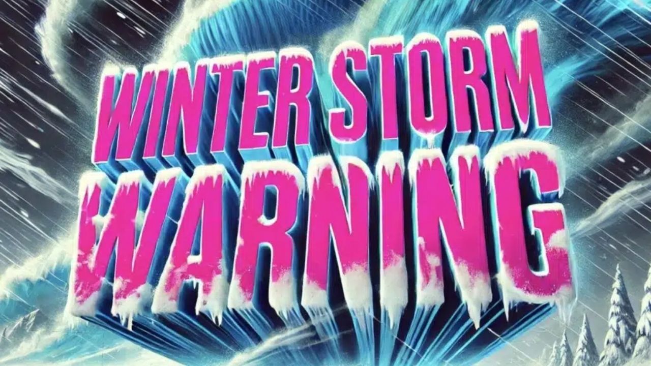
The National Weather Service has issued a Winter Storm Warning for Oswego, Jefferson, and Lewis counties, which includes the cities of Oswego, Watertown, and Lowville, from 11 a.m. Friday until 2 p.m. Saturday.
Forecasters predict that the storm will dump 8 to 15 inches of snow, with the Tug Hill Plateau and the western Adirondack foothills receiving the most. Strong gusts may gust up to 45 mph, resulting in blowing and drifting snow that could substantially decrease visibility.
Lower elevations in the North Country, including the Watertown metro area, are forecast to receive 2 to 4 inches of snow, but wind may potentially disrupt driving conditions.
The National Weather Service cautions that roadways may become treacherous, especially during the Friday evening commute, when snowfall and strong gusts are predicted to increase. Snow-covered roads and poor visibility may cause delays in travel around the eastern Lake Ontario region.
Forecasters also predict that strong winds may drop tree branches and cause localized power outages, particularly near Tug Hill’s northern slopes and Lake Ontario’s eastern shores.
Residents are asked to stay up to current on forecasts and report snowfall via the National Weather Service website or social media outlets.
The storm’s timing may have an impact on Friday afternoon travel and early weekend plans for North Country students, workers, and commuters.


Leave a Reply