

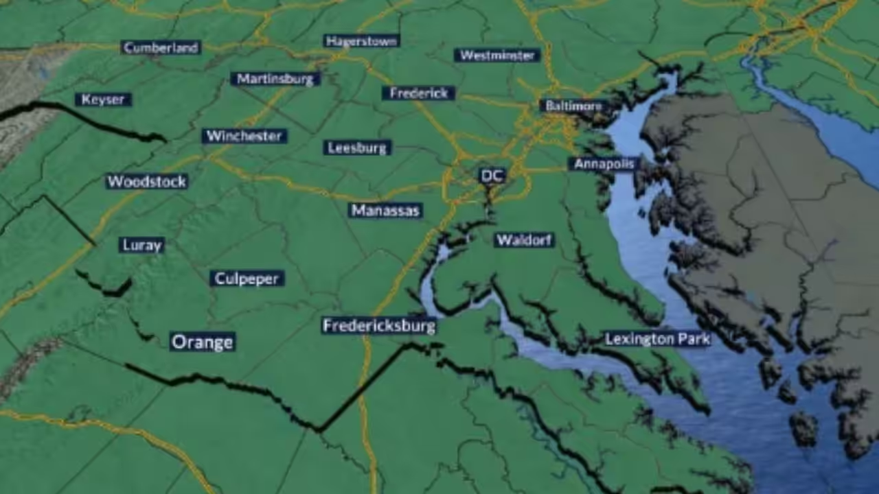
Pockets of severe rain and storms will move about the area intermittently throughout the night, with a stalled front close. The primary risk will be flash flooding, particularly in areas that experienced significant rain yesterday. A Flood Watch is in effect until midnight for this threat, but things will swiftly calm down and be normal by Tuesday morning.
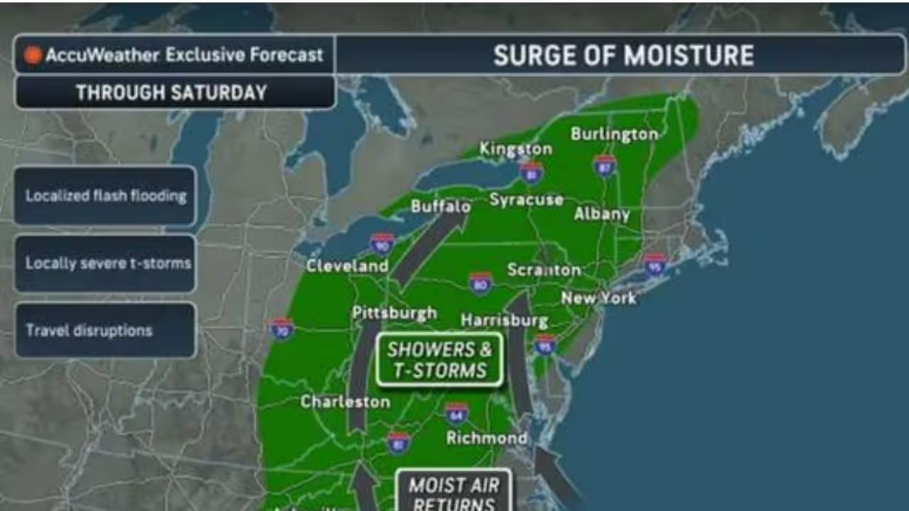
That same stalled front will not move on Tuesday, resulting in a pattern very similar to today’s. More scattered rain and storms will develop in the afternoon, slowly moving across the region. The severe threat is significantly lower tomorrow, although flooding remains a possibility, depending on where any heavy rain falls tonight. By Wednesday, the stalled front will have passed, but there will still be plenty of clouds and moisture nearby for isolated showers. The positive side of all this rainy weather is that it will continue to cool, with highs in the 70s and low 80s on Wednesday.
On Thursday and Friday, a new frontal boundary will arrive, driving temperatures back into the upper 80s and lower 90s while humidity remains high. This will lead to increased chances of rain and storms, particularly on Thursday. We won’t be completely dry by the end of the week, but there will be a few isolated showers and storms on Friday. Saturday appears to be our final active day of this stretch, as temperatures cool and high pressure returns throughout the second half of the weekend. High temperatures will be in the mid to upper 80s, with lots of sunlight on Sunday and next Monday.
7-Day Forecast:
Tonight: Mostly cloudy with scattered rain and storms early, with areas of fog late. Winds: Light ENE, Low: 73 (68-75)
Tuesday: Partly to mostly cloudy with scattered rain and storms. Isolated flash flooding will be possible. Winds: Light NE, High: 86 (81-89)
Tuesday night: Mostly cloudy with scattered showers and storms early. Winds: Light NE, Low: 69 (66-73)
Wednesday: Cloudy with isolated showers. Highs will be in the lower to middle 80s with lows in the upper 60s to lower 70s.
Thursday: Partly to mostly cloudy with scattered rain and storms. Highs will be in the middle to upper 80s with lows in the upper 60s to lower 70s.
Friday: Partly cloudy with isolated showers and storms. Highs will be in the upper 80s to lower 90s with lows in the upper 60s to lower 70s.
Saturday: Partly cloudy with scattered showers and storms. Highs will be in the mid-80s with lows in the middle to upper 60s.
Sunday: Partly cloudy skies. Highs will be in the mid-80s with lows in the middle to upper 60s.
Monday: Mostly sunny skies. Highs will be in the middle to upper 80s with lows in the upper 60s to lower 70s.







Leave a Reply