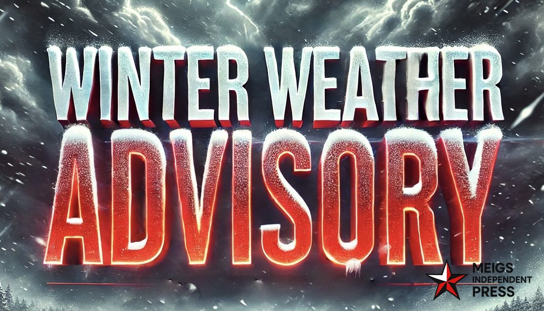
Seattle, WA — The National Weather Service in Seattle has issued a Winter Weather Advisory for the Washington Cascades, with snowfall totals expected to reach as much as 14 inches from late Saturday night through Sunday evening.
The advisory includes the Cascades in Whatcom, Skagit, Snohomish, King, Pierce, and Lewis Counties, covering popular mountain destinations such as Mount Rainier, Stevens Pass, Snoqualmie Pass, and Crystal Mountain.
Snow is forecast to begin around 11 p.m. Saturday and persist through roughly 11 p.m. Sunday. Accumulations of 6 to 10 inches are likely above 3,500 feet, while Mount Rainier could pick up 10 to 14 inches. The most intense snowfall is expected overnight and into Sunday morning.
Travel over mountain passes may become hazardous, with low visibility and slick roads. Forecasters also caution that gusty winds could knock down tree branches, leading to isolated power outages. Drivers are urged to slow down, use extra care, and check current road conditions before heading out.
This early-season system marks one of the first significant winter weather events for the Cascades this fall.


Leave a Reply