An early taste of winter is on the way for the Pacific Northwest, with the Cascades primed for November snowfall. NOAA’s October 24, 2025 outlook calls for above-normal precipitation paired with near- to below-normal temperatures across the region—an ideal recipe for mountain snow and slick conditions on high passes such as Stevens, Snoqualmie, and Santiam.
Along the I-5 corridor, rain will be the dominant theme. However, colder air trailing mid-month systems could push snow levels down to around 2,500–3,000 feet, with the potential to dip even lower overnight. That means brief bursts of wintry weather could reach some foothill elevations, especially during the colder late-night and early-morning hours.
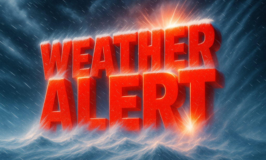
Anyone planning mountain travel ahead of Thanksgiving should keep a close eye on updated forecasts and pass reports. Weather can change quickly in this setup, turning wet roads into slush or snow-packed stretches over relatively short distances and time frames.
All signs point to the Pacific Northwest being among the first regions to make a full-fledged shift into winter this season. Expect steady valley rain paired with accumulating Cascade snow—conditions that will usher in early-season travel challenges well before the holidays.


Leave a Reply