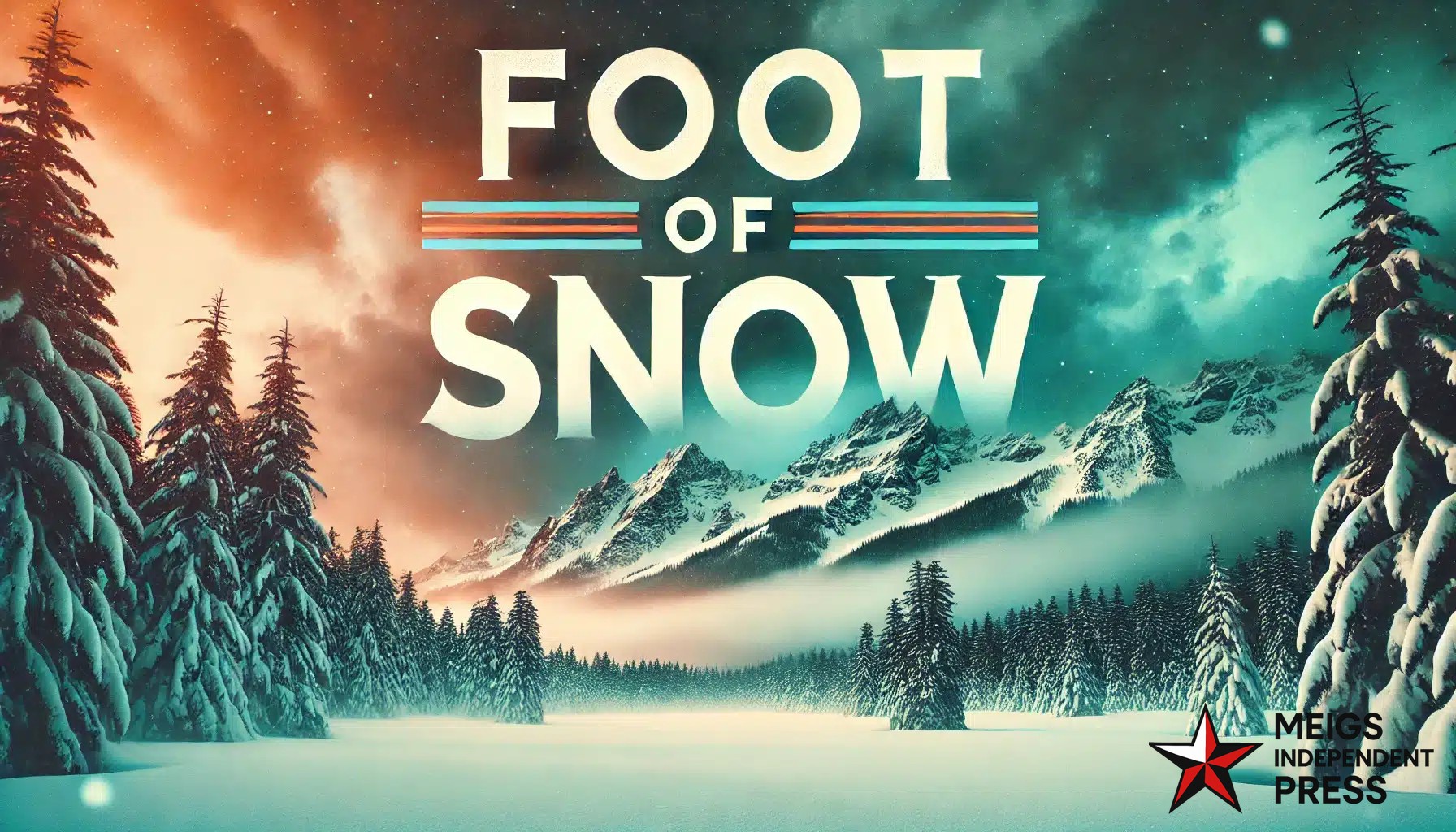
Riverton, WY — Northwest Wyoming is bracing for a potent early-season winter system arriving late Saturday night and persisting through Monday evening, bringing heavy snowfall, strong winds, and hazardous travel.
The National Weather Service in Riverton has issued a Winter Storm Warning from 11 PM Saturday through 6 PM Monday for Yellowstone National Park and the Teton and Gros Ventre Mountains.
Snowfall projections call for 6 to 12 inches across much of Yellowstone, with localized totals up to 15 inches near the South Entrance. The Teton and Gros Ventre ranges are expected to see 10 to 18 inches of accumulation. Winds could gust up to 45 mph, leading to blowing snow, reduced visibility, and dangerous conditions—particularly over Teton and Togwotee Passes.
Lower elevation spots such as Mammoth should only receive about 1 to 3 inches, with the heaviest amounts focused in the higher terrain. Drivers should exercise caution, check for closures and chain requirements before heading out, and carry emergency supplies like food, water, and flashlights.
For current road and weather updates, visit weather.gov/riw/winter and wyoroad.info.


Leave a Reply