A developing storm system is expected to cause a significant pattern change in the Northeast, affecting Pennsylvania, New York, New Jersey, Connecticut, Massachusetts, Vermont, New Hampshire, and Maine from Tuesday to Thursday.
The system approaches after a period of above-normal temperatures on Tuesday, when southerly flow ahead of the storm causes highs to reach the 40s and 50s, even in parts of New England. This brief warmup will seem unusually mild for mid-January and may melt leftover snowpack in certain locations.
By Wednesday, the storm system will have moved eastward, bringing extensive rain to the Mid-Atlantic and southern New England. As colder air moves in behind the system, precipitation is forecast to change from rain to snow, particularly in central and northern Pennsylvania, upstate New York, interior New England, and at higher elevations.
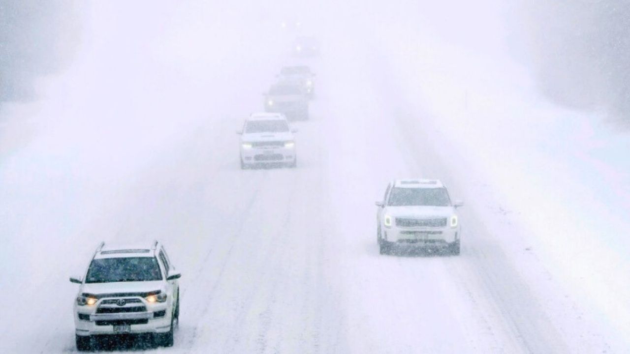
In some areas, the transition from rain to snow may occur quickly, resulting in slick roads and impaired visibility. Snowfall levels are unknown, but bursts of snow might disrupt traffic over Wednesday night and early Thursday.
Colder air settles over the region on Thursday as the storm exits into the Atlantic. Snow showers may persist across the Great Lakes region, northern New York, and northern New England, accompanied by strong winds that could result in blowing snow and even colder wind chills.
Residents in the Northeast should be prepared for rapidly shifting weather conditions, especially if traveling during the week. Staying informed via local forecasts and alerts will be critical as this system brings a quick end to the previous stretch of pleasant January weather.


Leave a Reply