A colder, snowier weather pattern is becoming more expected across northern and central Illinois late next week, with increased confidence that snow will outnumber rain between January 20 and January 26. While individual storm systems remain unpredictable, the overall scenario predicts multiple chances of snowfall across the region.
According to the National Weather Service and the Climate Prediction Center, Illinois is among the areas having a 40% probability of above-normal precipitation during the next 8-14 days. Temperature trends within that same window point to colder air holding across the Midwest, altering precipitation probability to snow rather than rain for much of northern and central Illinois.
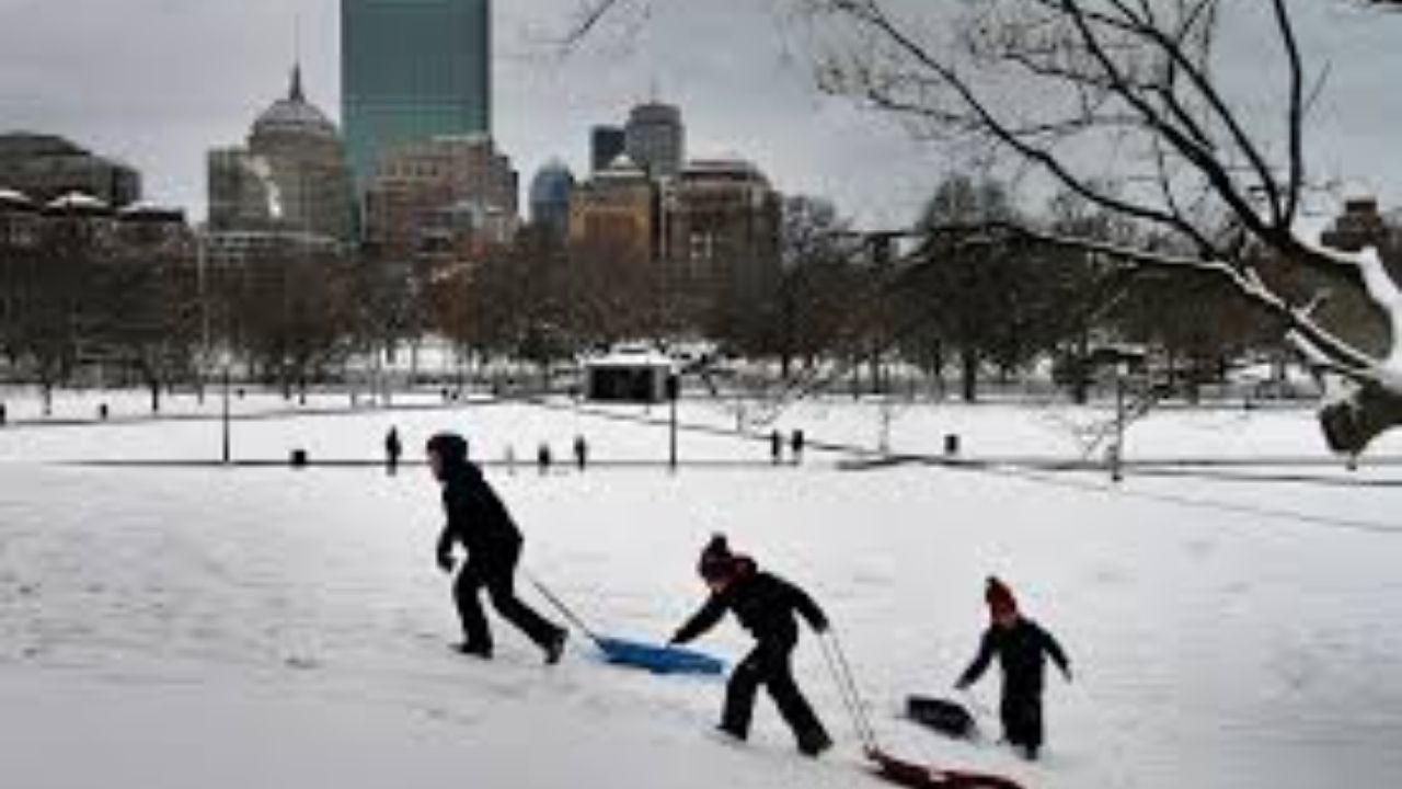
Northern Illinois, including Chicago, Rockford, Waukegan, and DeKalb, appears to be a prime location for snow accumulation. Systems moving through the Great Lakes could produce numerous rounds of light to moderate snow, with cooler air allowing snow to accumulate overnight and early in the morning. Lake-enhanced moisture from Lake Michigan may cause localized intensity at times, especially north and east of Chicago.
Central Illinois, comprising Aurora, Joliet, Bloomington, Peoria, and Springfield, has a growing snow signal. While daytime temperatures may occasionally linger near freezing, colder nighttime conditions may allow snow to accumulate, particularly if numerous systems pass through in quick succession.
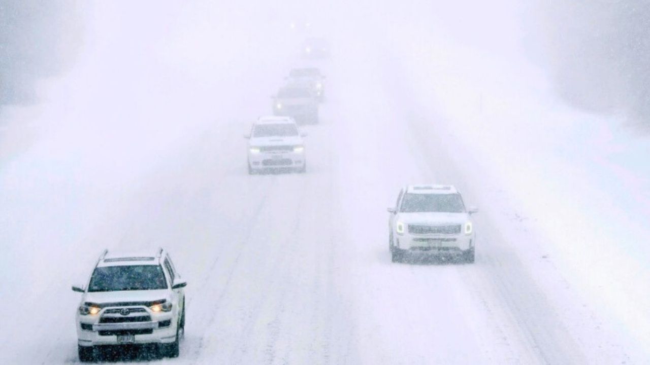
Repeated snowfall might result in icy and snow-covered roadways along important corridors including as I-90, I-94, I-80, I-88, I-55, and I-74. Snow events that coincide with commuting times may have a greater impact on travel.
Residents are asked to prepare for winter travel conditions, make sure their cars are snow-ready, and keep up with the latest forecasts. Confidence will grow as the period approaches, and additional winter weather advisories may be issued if the snow signal develops further by late January.


Leave a Reply