
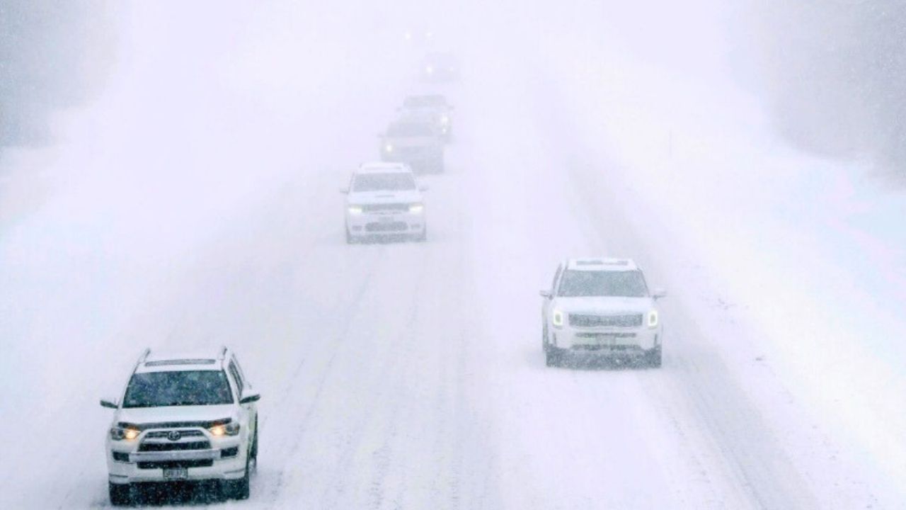
Drivers in Northern New York may see road conditions deteriorate swiftly Tuesday afternoon when heavy snowfall develops just ahead of the evening commute, resulting in slick bridges, poor visibility, and hazardous travel throughout the North Country.
The National Weather Service in Burlington has issued a Winter Weather Advisory for the St. Lawrence Valley and northern Adirondacks from 10 a.m. Tuesday until 7 a.m. Wednesday. Snow accumulations of 3 to 6 inches are forecast, with the most severe snowfall coming between 2 and 6 p.m. Tuesday. During that time, snowfall rates could reach 1 to 1.5 inches per hour.
The most severe consequences are forecast in Northern and Southeastern St. Lawrence County, Franklin County, and the western areas of Clinton and Essex counties. I-87, Route 11, Route 3, and Route 30 may get snow-covered quickly, particularly during high travel periods. Bridges and overpasses are likely to ice over first while temperatures remain low.
Malone, Massena, Potsdam, Gouverneur, Tupper Lake, Lake Placid, and Saranac Lake are expected to experience the most substantial travel delays Tuesday evening, with hazardous conditions continuing into the Wednesday morning commute.
Motorists are advised to slow down, increase following distance, and postpone non-essential driving during the worst snowfall. 511 New York allows you to monitor road conditions. The caution will continue in effect until early Wednesday, and additional alerts may be issued if snowfall rates stay high.


Leave a Reply