CLEVELAND — If you loved Friday’s beautiful weather, brace yourself — the weekend brings another round of weather whiplash.
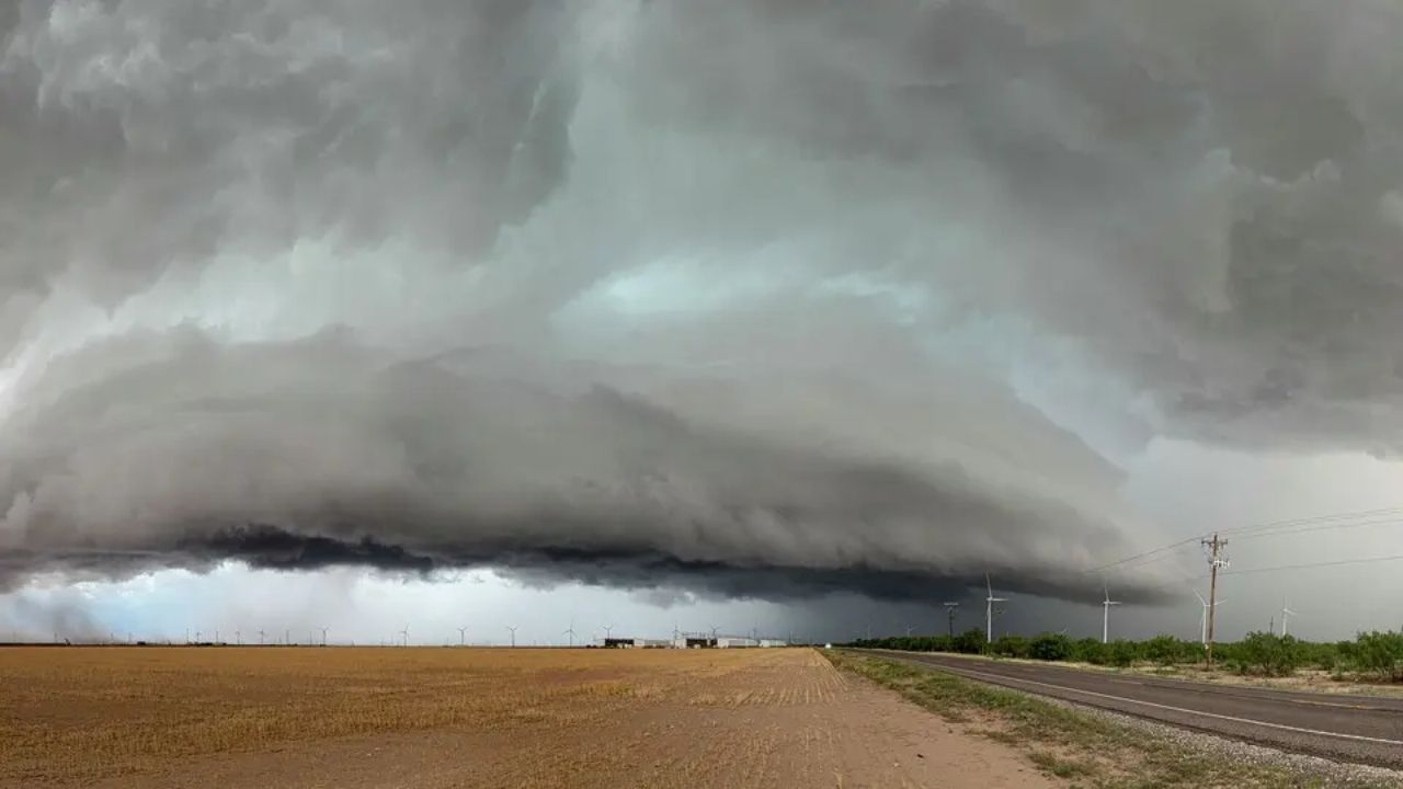
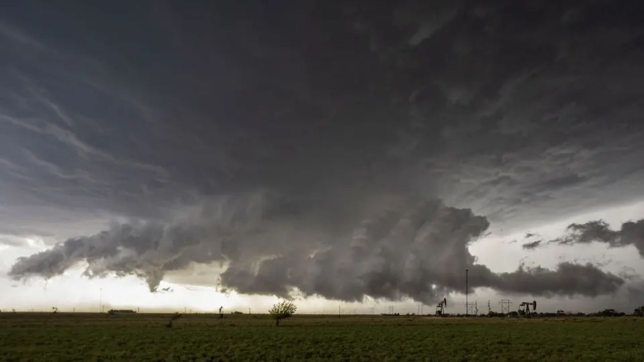
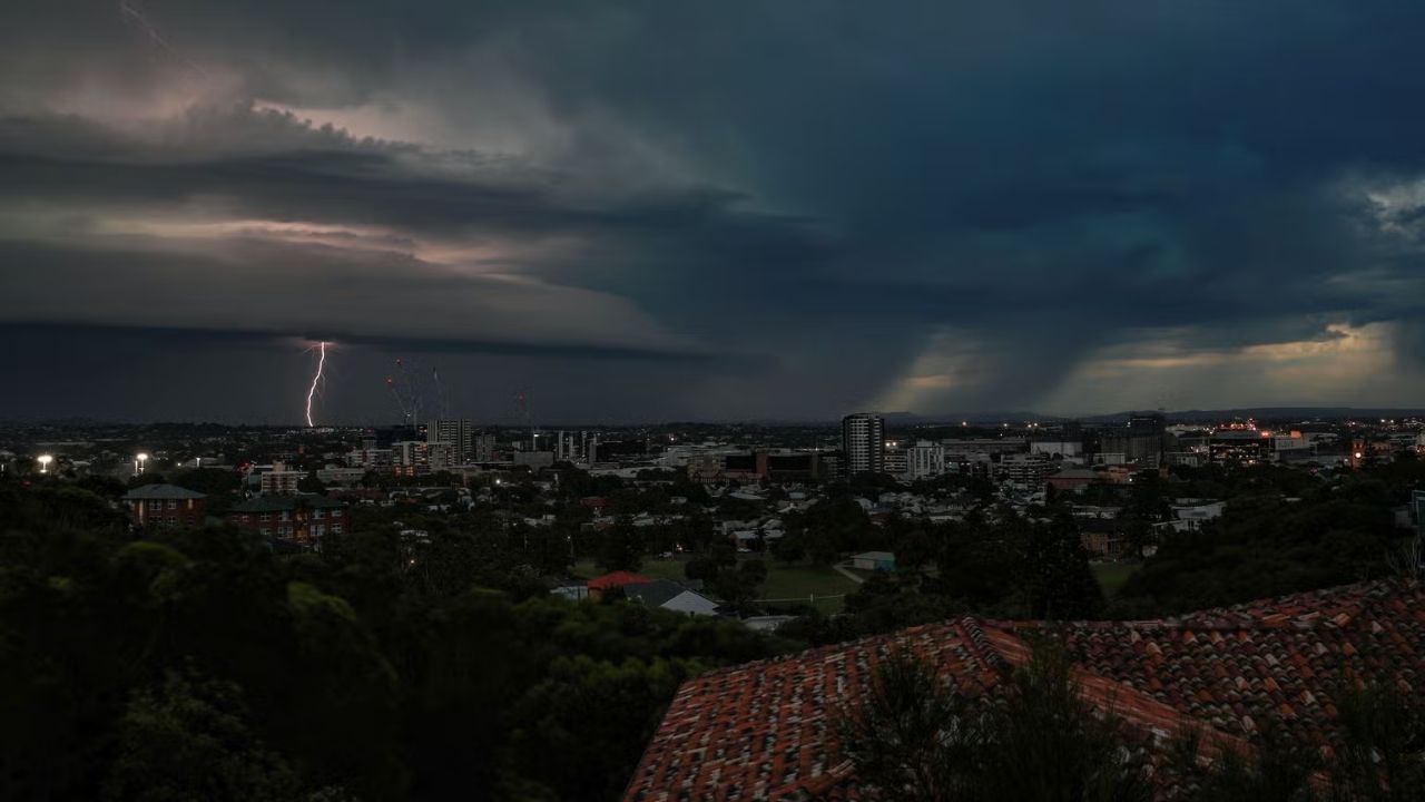
Beyond the forecast, Saturday will be packed in Cleveland. The Cavs, Guardians, and Supermotocross events will all take over downtown. However, this time of year often brings frequent wet conditions, making a completely dry weekend unlikely. A cold front will move through, triggering strong to potentially severe storms into the early afternoon.
Clouds filled the sky this morning, and humidity levels stayed relatively low. Those factors are encouraging, as they typically help limit storm intensity. Still, breaks of sunshine and temperatures climbing into the 70s will provide enough energy for storms to develop.
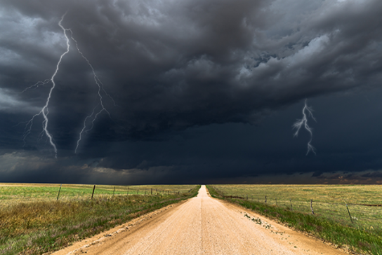
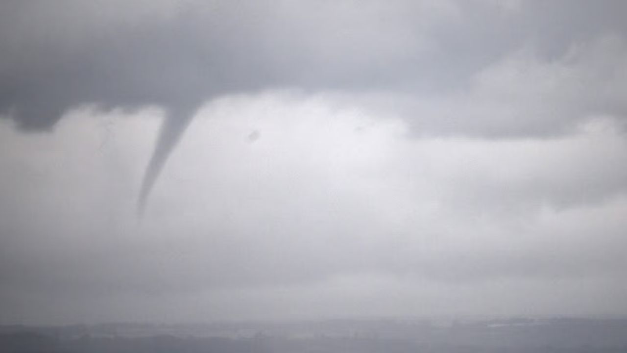
Expect the possibility of damaging wind gusts, large hail, heavy rain, and lightning. An isolated tornado cannot be ruled out either. The most active window for severe weather appears to be between noon and 4 p.m., especially east of I-71. While the severe threat should ease by evening, cold rain will continue Saturday night into Sunday, with even a chance for a few snowflakes around daybreak.
Prepare for a sharp drop in temperatures from Saturday night through Tuesday morning. Temperatures will fall into the 40s shortly after sunset, with Sunday highs struggling to get out of the 40s. A few wet snowflakes could mix in from Sunday into early Monday. Expect wintry conditions to linger through Monday before a gradual warm-up begins on Tuesday.
DAILY FORECAST:
Saturday: Wet & windy early followed by heavier PM rain and MUCH cooler temps | High: 75º
Sunday: Staying chilly with light rain/mix late. | High: 47º
Monday: Cold with isolated rain/snowflakes. | High: 39º
Tuesday: More seasonable. | High: 65º
Wednesday: Light rain possible. | High: 67º


Leave a Reply