Monday is a very busy weather day around the United States. There might be record-breaking temperatures in the Northeast, late-season snow in the Rockies and Pacific Northwest, and possibly severe fire weather conditions in the High Plains.
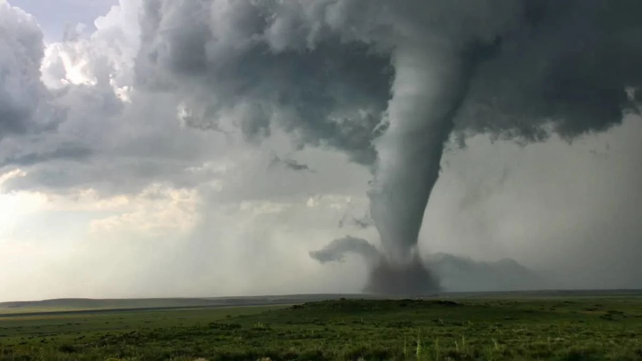
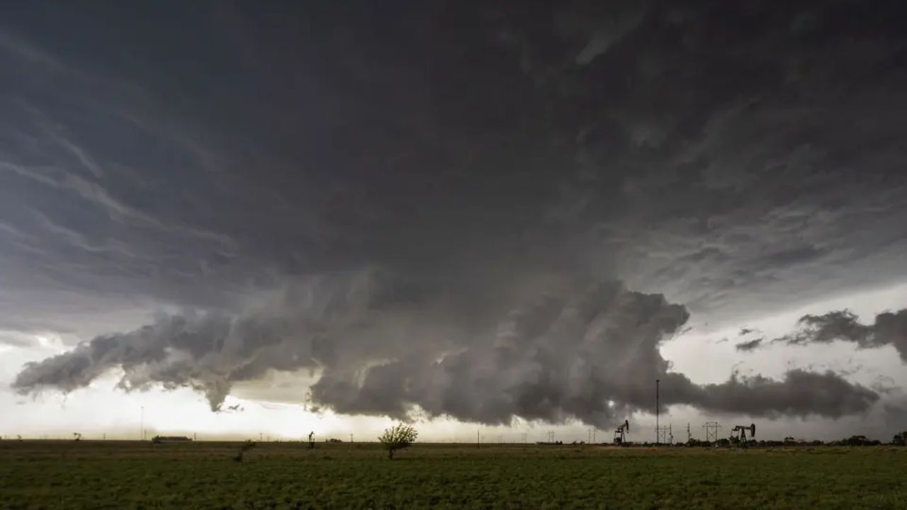
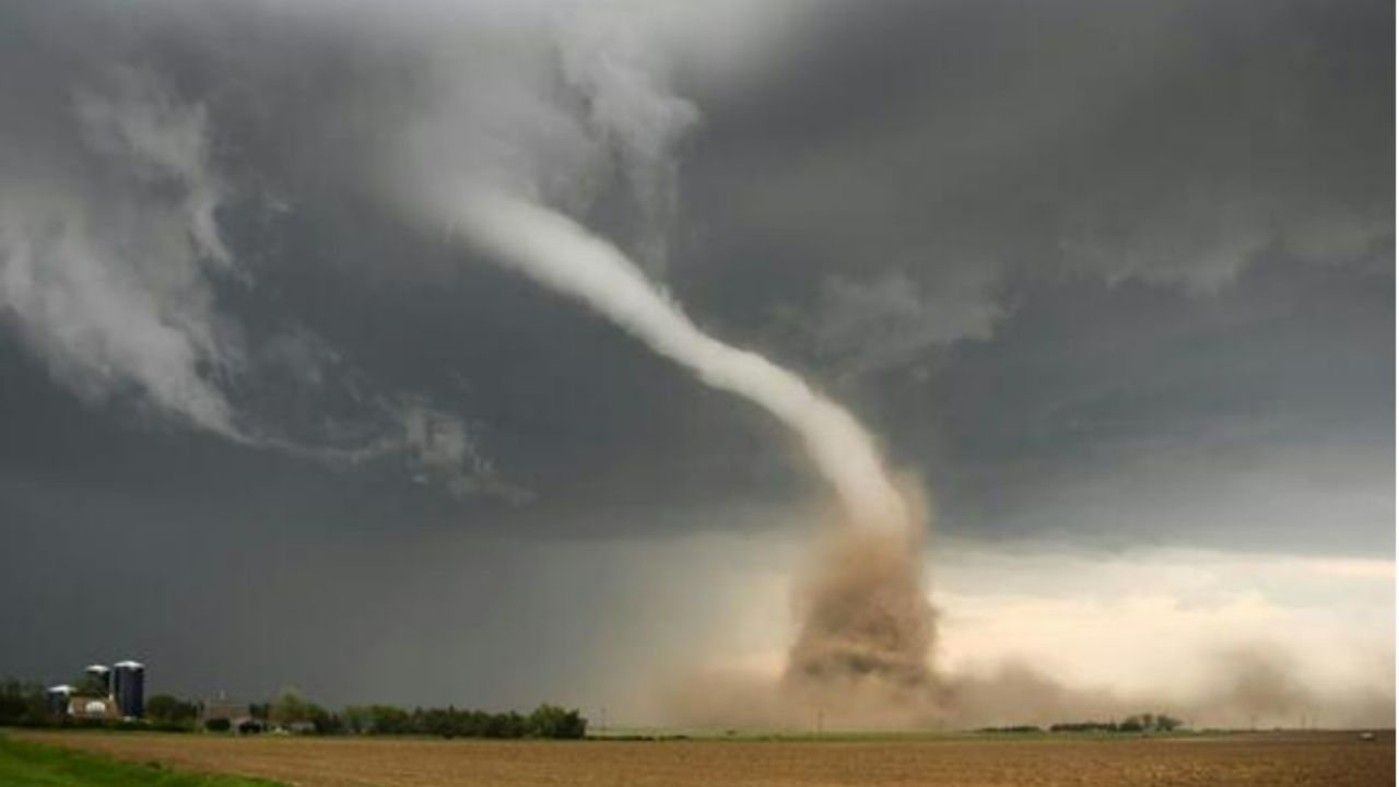
Not to be overlooked, the National Weather Service (NWS) is warning citizens in five states—Iowa, Kansas, Missouri, Nebraska, and Oklahoma—to be prepared for several “severe” thunderstorms, tornadoes, and “giant” hail.
Storms on the way, including “intense” tornadoes
The NWS Storm Prediction Center in Norman, Oklahoma, has issued the following warnings for intense thunderstorms, “several” tornadoes, destructive winds, some hurricane force, and “widespread baseball-size” hail:
- Iowa
- Central and eastern Kansas
- Northwest Missouri
- Southeast Nebraska
- Northern Oklahoma
Severe weather is forecast on Monday afternoon and evening.
“Numerous severe thunderstorms are expected this afternoon and evening across the south-central Plains and mid Missouri Valley,” the Storm Prediction Center writes. “Supercells capable of producing very large to giant hail and multiple strong to intense tornadoes are most likely from central Kansas and southeast Nebraska into Iowa and northwest Missouri.”
“40 to 50” tornadoes are possible
AccuWeather warns of a “high-risk” tornado outbreak in the Plains on Monday. AccuWeather warns that states as far north as Wisconsin should be prepared for weather updates and potential tornado warnings, while the NWS identifies the highest-risk locations. Given that there were over two dozen tornadoes on Sunday, AccuWeather Chief On-Air Meteorologist Bernie Rayno predicted that Monday would be much more active. “There could be at least two dozen tornadoes from Monday afternoon through Monday night, with the potential for 40 to 50.”
Wind gusts of 75-85 mph, with a maximum of 95 mph, are predicted, as is destructive hail.


Leave a Reply