

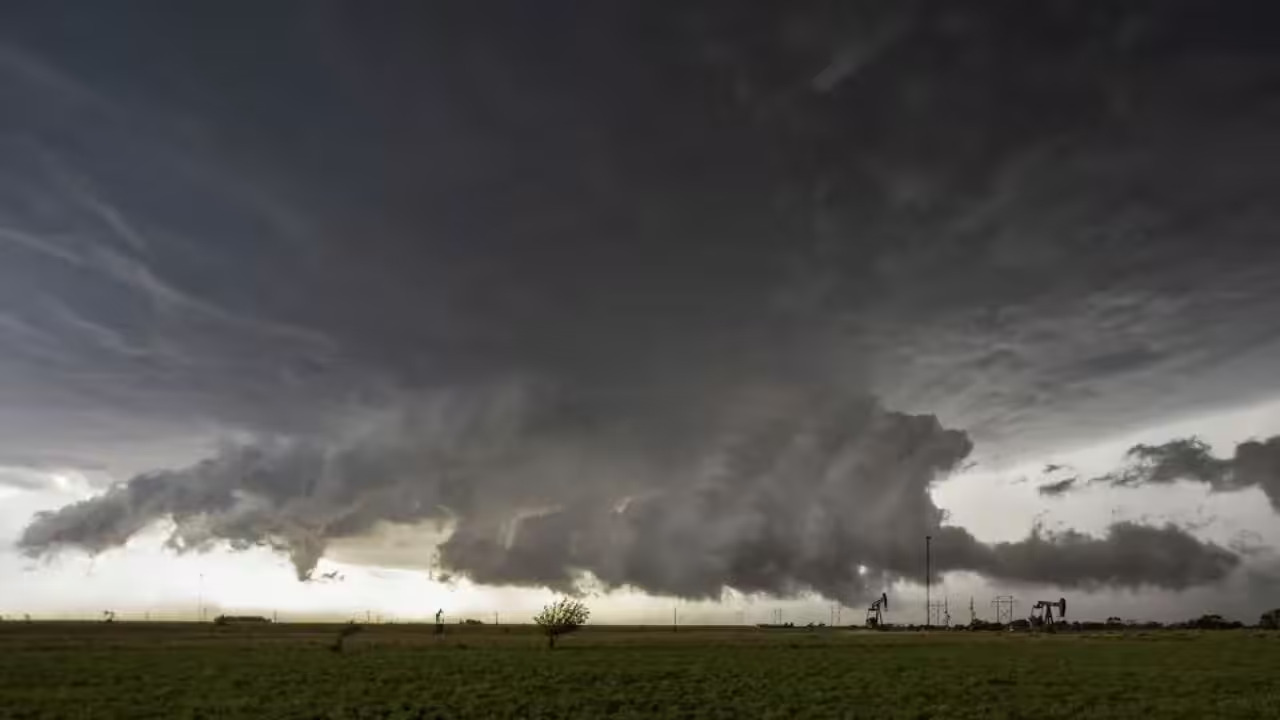
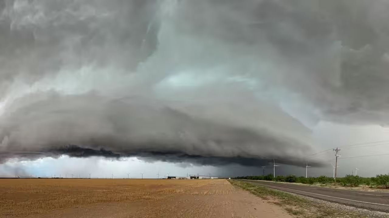
Summer may be in full swing, but storms are still probable in portions of Texas. Thunderstorms with heavy rainfall, lightning, and strong gusts are expected to develop in the Texas Panhandle on Wednesday, July 8.
The Texas Panhandle towns are among the few in the state experiencing dynamic weather patterns this week, as other large metros suffer regular July temperatures. According to the most recent forecast, storms may travel across northern Texas.
“Thunderstorms will be possible across the combined Panhandles later this afternoon and through the evening,” the National Weather Service Amarillo office advises. “These thunderstorms may produce strong winds and heavy rain.”
Storms could help keep temperatures down by hiding the sun and keeping air moving. Severe weather is not the main concern for Wednesday, but forecasters warn it cannot be ruled out. Severe storms are defined by the NWS as those that can produce hail at least 1 inch wide, a tornado, or wind gusts of at least 58 mph.
Storm chances in the Panhandle are currently between 20% and 30% on Wednesday, increasing as the weekend approaches. Thunderstorms are expected to hit the northwestern edge of the Texas Panhandle between 4 and 7 p.m. on Wednesday, with a 10%-25% likelihood.
Between 7 p.m. and 1 a.m. Thursday, the odds increase to 40% to 50% across the region, including locations south of Amarillo. The highest chance of severe weather appears to approach on Thursday, when forecasts predict hail up to 1 inch in diameter.







Leave a Reply