

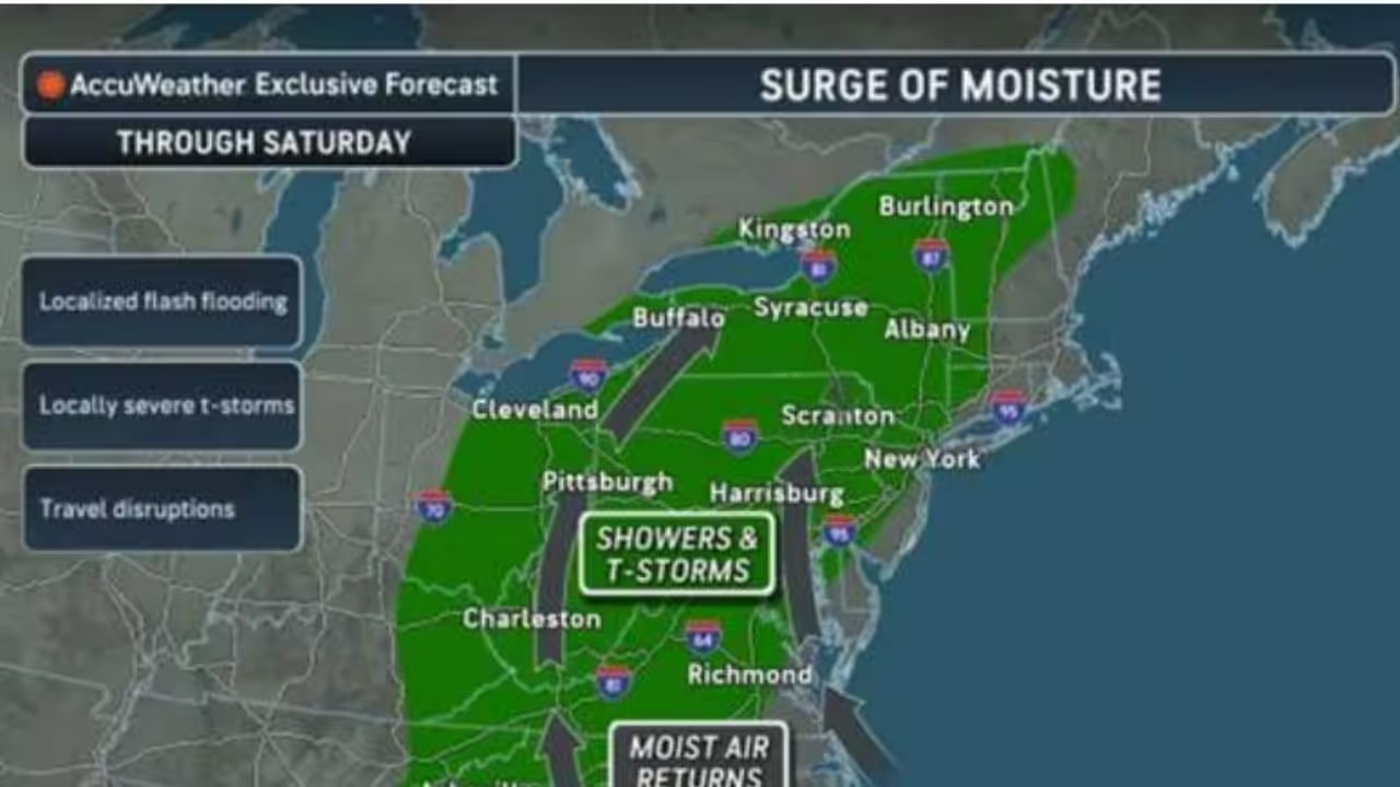
A steamy, unsettled system is laying the groundwork for a more concentrated wave of severe weather in the Northeast.
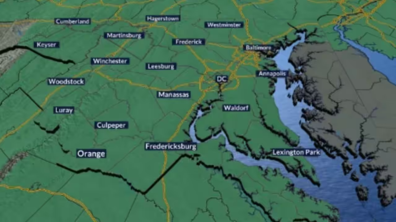
Scattered storms are expected to continue throughout Thursday evening, Aug. 6, but emphasis is shifting to Friday, Aug. 7, when larger thunderstorms may hit a heavily populated region stretching from Washington, DC, and Baltimore to Philadelphia and New York City.
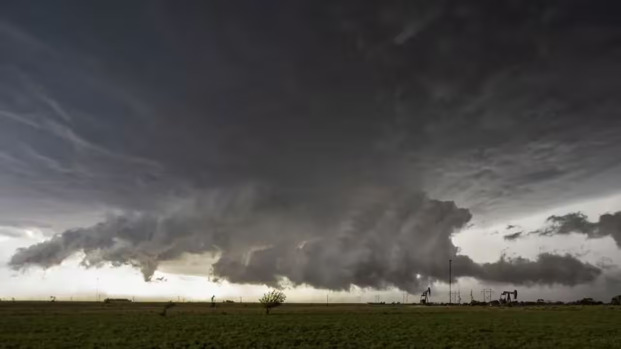
AccuWeather predicts catastrophic wind gusts, torrential rain, frequent lightning, and localized flash floods.
Some storms may create wind gusts of up to 70 mph, which is enough to bring down trees, cause power outages, and make travel dangerous.
Friday’s activity is predicted to peak in the afternoon and evening, jeopardizing the evening commute, outdoor events, and the beginning of weekend travel.
According to AccuWeather, thunderstorms in the afternoon and evening of Friday, August 7, could cause flash flooding and localized wind gusts of 55 to 65 mph across the Northeast.
“The steamy air sticking around will help provide fuel for the storms,” AccuWeather Chief On-Air Meteorologist Bernie Rayno said. “Weak fronts and the edges of high pressure will help focus the storms, allowing some to become severe or produce torrential downpours.”
The National Weather Service’s Weather Prediction Center warned of a slight probability of heavy rainfall in the mid-Atlantic and Northeast on Friday.
According to AccuWeather, a surge of precipitation heading north along the East Coast may cause showers, thunderstorms, flash flooding, and possible travel disruptions till Saturday, August 8.
A plume of deep atmospheric moisture will spread from the Ohio Valley to New England. This moisture, combined with disturbances in the region, will produce sporadic thunderstorms and locally heavy rains.
Storms that move slowly or periodically through the same towns may quickly overwhelm storm drains, resulting in flooding in low-lying, urban, and poor-drainage areas.
According to the National Weather Service, some storms in the eastern United States could become strong to marginally severe by Thursday evening, with destructive winds and hail being the main worries. The unsettled trend will persist across sections of the eastern half of the country for the next few days.
Another wave of showers and thunderstorms is possible on Saturday, August 8. The Weather Prediction Center maintains a minimal chance of extreme rainfall in the lower Great Lakes and Northeast.
Warmer, more humid weather will extend across much of the Northeast late this week as high pressure builds near Bermuda, according to AccuWeather.
The severe-weather threat should subside across the Northeast over the weekend, but sporadic downpours may persist until a front delivers decreased humidity.





Leave a Reply