Riverton, WY — A powerful winter storm is set to impact northwestern Wyoming, with a Winter Storm Warning in place for Yellowstone National Park and the Teton and Gros Ventre Mountains from 11 p.m. Saturday through 6 p.m. Monday. Forecasters with the National Weather Service in Riverton warn that heavy snowfall and strong gusts will create hazardous travel conditions across the region.
Snow totals in Yellowstone are expected to reach 6 to 12 inches, with the heaviest amounts—up to 15 inches—near the park’s South Entrance. The Teton and Gros Ventre Mountains could see even more accumulation, ranging from 10 to 18 inches, accompanied by wind gusts up to 45 mph.
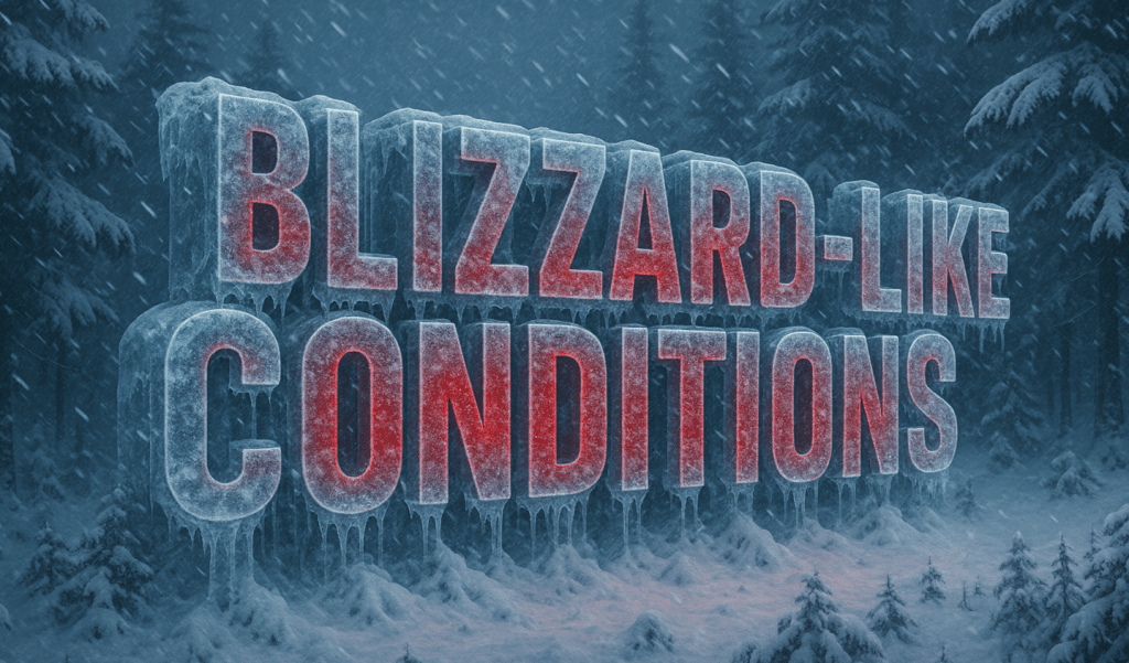
Travel will be challenging, especially on mountain passes such as Teton and Togwotee, where slick roads and blowing snow may lead to reduced visibility and periods of near-whiteout conditions. Drivers are urged to carry an emergency kit, allow extra time, and check current road status at wyoroad.info before heading out.
The storm is expected to persist through Monday afternoon, with gradual improvement anticipated by Monday evening as the system weakens and moves east.


Leave a Reply