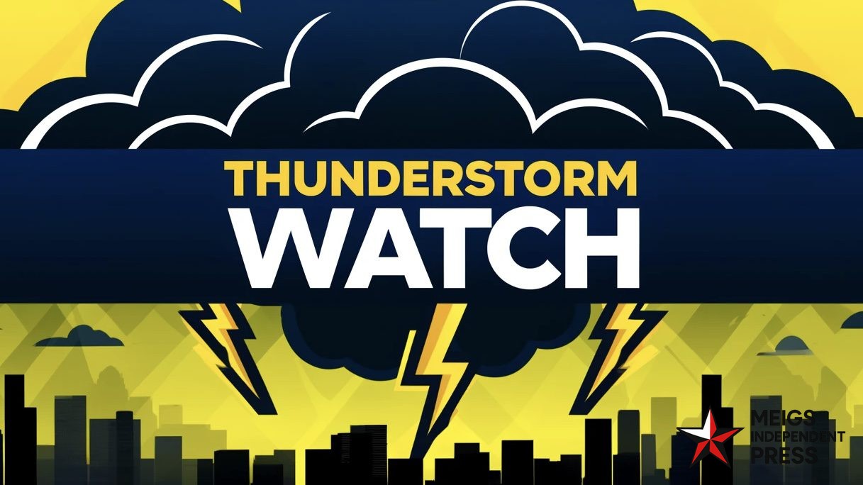
Lake Charles, LA — The National Weather Service in Lake Charles has placed southwest Louisiana and parts of southeast Texas under a Severe Thunderstorm Watch until 7 a.m. CDT.
Forecasters report that conditions are primed for strong storms capable of producing hail up to roughly 1.25 inches in diameter, wind gusts reaching 70 mph, and isolated tornadoes. The watch covers Beauregard, Calcasieu, Jeff Davis, Cameron, Allen, and Vernon parishes, along with neighboring counties just across the Texas state line.
This is expected to be the first round of thunderstorms to affect the region today, with additional waves possible later. Residents are encouraged to stay alert overnight and use multiple methods to receive warnings, such as NOAA Weather Radio, wireless emergency alerts, and local media.
Safety guidance from the NWS includes moving indoors immediately when you hear thunder, staying away from windows during storms, and postponing travel if high winds or hail are occurring.
For ongoing updates, follow the US National Weather Service Lake Charles and visit weather.gov/LCH as the situation evolves.


Leave a Reply