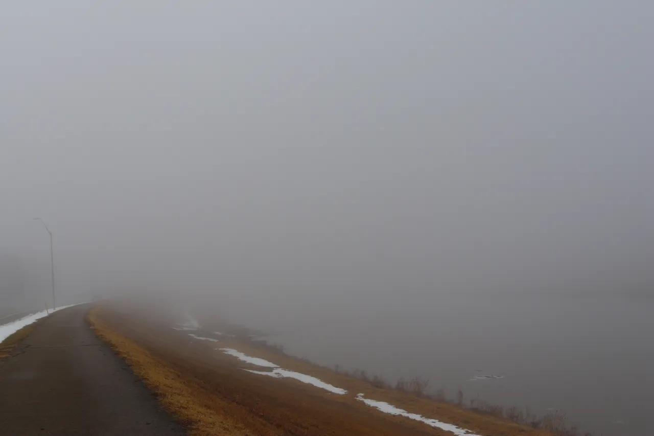
San Francisco greets Saturday under a muted, gray sky as marine clouds and light mist sweep across the city. Fog funnels through the Golden Gate while pavements take on a slick sheen—an early hint of a quick bout of wet weather before brighter days return.
The first of two fast-moving disturbances brushes the Bay Area today, delivering spotty, light rain that will give way to clearing skies heading into Monday.
The National Weather Service office in Monterey pegs the chance of rain at about 60% through late morning, with showers easing by midday as a gentle southwest breeze develops. Roads will remain slick for several hours, especially along I-280 and Highway 101, where shallow puddles may persist into the afternoon. Rainfall amounts look minimal—generally under one-tenth of an inch—but enough to slow errands and early weekend trips.
Sunday acts as a transition day, carrying only a 30% chance of scattered showers, mainly inland near the East Bay hills. Temperatures tick up, reaching the upper 60s to near 70 degrees, and winds relax.
By Monday, high pressure builds along the coast, ushering in abundant sunshine, calm breezes, and highs near 70. It’s ideal for outdoor plans or getting a head start on Halloween decorating.
This fair stretch holds into midweek with mostly clear afternoons and cool nights. Coastal neighborhoods settle into the mid-50s after dark, while inland valleys drop into the upper 40s before sunrise.
Enjoy the lull—an early November cool-down is on the way.
Five-day outlook for San Francisco:
– Saturday: 67/57 — Rain likely at times; occasional breezes.
– Sunday: 67/53 — A few showers possible, clearing late.
– Monday: 69/55 — Sunny with light winds.
– Tuesday: 73/56 — Sunny and warmer in the afternoon.
– Wednesday: 73/56 — Mostly clear and mild.


Leave a Reply