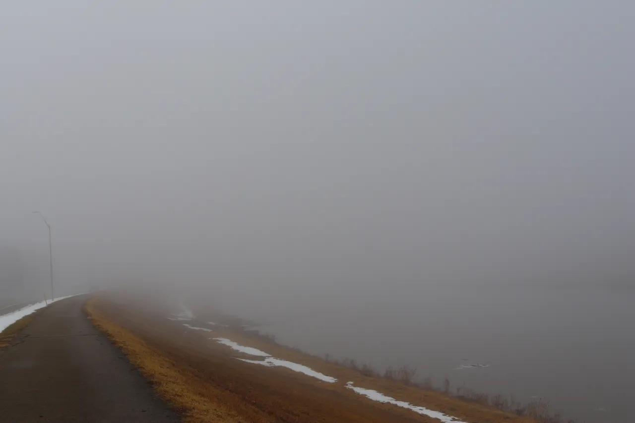
LOS ANGELES, Calif. – A thick marine layer draped over the Los Angeles Basin early Saturday, dimming the skyline and slowing traffic along I-10 and the 405. The morning starts cool and damp, but a shift toward a late-October warm spell—more reminiscent of summer—is just ahead.
Forecasters at the National Weather Service in Oxnard expect patchy fog and low clouds to hold on until mid-morning before sunshine takes over. Temperatures will step up through the weekend, reaching around 75°F today and the mid-70s on Sunday. By Monday, the Los Angeles metro should feel a pronounced warmup with highs near 80°F—close to 10 degrees above what’s typical for this time of year.
Planning outdoor Halloween decor or weekend yardwork? Conditions look favorable, with light winds and mostly clear skies after the morning gray. Do watch for early-day visibility drops along the coast from Santa Monica to Long Beach. Inland communities such as Pasadena and Burbank will heat more quickly, sliding into the low 80s by Tuesday.
Rain isn’t in the picture, but moisture left behind by the recent cool pattern will keep fog in the mix through early Sunday. If you’re commuting or catching a morning flight, build in extra time until the sun clears the haze.
The warm, dry pattern hangs on into midweek—great for evening events and early trick-or-treat planning—before November likely brings a cooler turn.
Five-day outlook for Los Angeles, CA:
– Sat: 75/59 – Patchy fog, then sunny.
– Sun: 74/57 – Fog early, mostly sunny.
– Mon: 80/60 – Sunny, warm, light winds.
– Tue: 88/63 – Hotter; sunny skies.
– Wed: 88/63 – Sunny with mild evenings.






Leave a Reply